Day Hike Training Trip: Mt. Wilson, Angeles National Forest, ~13/13+ miles
 |
| Mt. Wilson via Chantry Flat GPS track. |
Taking my day pack and 3 L of water (water is not guaranteed at the top), I ended up getting to the trailhead much later than I wanted to. In the past, when I have done this hike, I have gotten to the parking lot by 7:30-8 am. I like to try to hike uphill when it is cooler since I have a tendency to overheat. Today I parked around 9 am. Oops. I guess I will put my new hiking shirt (Duluth Armachillo) to the test and see if it keeps me cool.
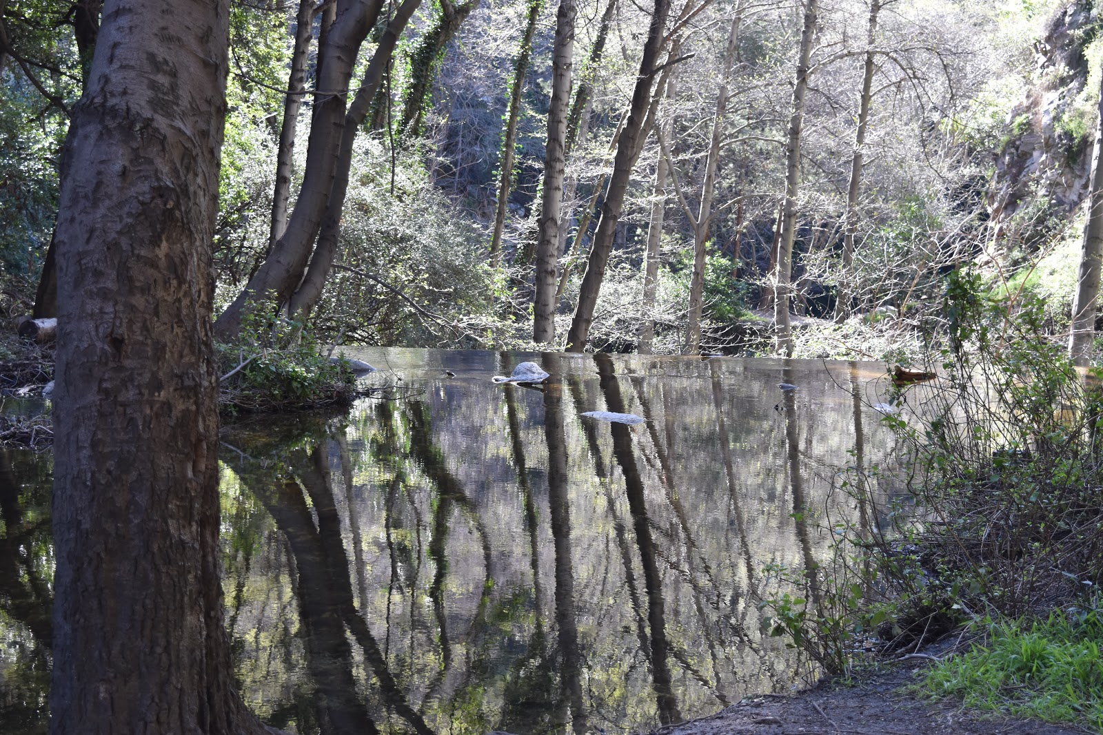 |
| Early morning reflections in Santa Anita Creek. |
 |
| Gabrielino Trail Fork |
Even though this hike is shaded and has nice water features, there is one thing that I hate about it. It can get kind of buggy. I had my head net in my pocket and had to pull it out pretty early on in the hike. I have a fairly low tolerance for gnats in my mouth. Pretty much just the thought of it happening is enough to pull out the head net. After I put this embarrassing bit of fashion on, my bug annoyance level plummeted and I felt pretty good until I crossed paths with a trail runner who was having no problem attacking that part of the trail without a head net. Then I was a little embarrassed. However, not embarrassed enough to take the head net off.
I continued along the Gabrielino Trail up and up and up. It gets to a point where it hits some annoying switchbacks. As much as I hate switchbacks, I have recently come to appreciate them. Switchbacks are much better alternative than going straight up/down on a steep trail.
As I was heading up the switchbacks, I noticed my body was getting a bit stressed from exertion. Since I was recently sick from stress I decided to slow it down and make this a leisurely hike to just enjoy. I shouldn't stress about time or speed because stressing will not do me any good at this point. Usually, I get pretty annoyed the closer I get to the peak because I know I am so close, but still am not finished. This time I was able to enjoy it and took in the views of all three of southern California's highest peaks. Mt. Baldy (aka Mt. San Antonio), Mt. San Gorgonio, and Mt. San Jacinto were all visible and capped in white.
 |
| Mt Baldy (left), Mt San G (middlish, maybe?), and Mt. San Jacinto (faded in the distance on the right). The PCT passes around each of these peaks. |
I crossed the parking lot to the path that leads down to the Old Toll Road and the Mt. Wilson Trail. I had great views of Mt. Baldy the whole time. From the Mt. Wilson Trail, I connected with the Winter Creek Trail to start heading back down to Chantry Flat. I pulled out my phone to experiment with Google Maps while “offline.” I know that our phones have GPS that can be used without network, but it was cool to see it in action. That is a very useful extra tool in addition to a topo map. Google Maps even had the trails in the area, and they were labeled. Go, Google!
Since I had decided to slow the hike down and just enjoy it, the Winter Creek Trail was so much prettier. Lots of beautiful trees and ferns. This trail has switchbacks for dayyyys, and it will even make you a bit dizzy at times. Since I was in no hurry, I didn't get my usual frustration with the switchbacks until I was almost done with them.
 |
| The gorgeous Winter Creek Trail. |
 |
| Heading back down on Upper Winter Creek Trail, looking out on the greater LA-area. |


Comments
Post a Comment