FT2018 Day 58: Wild Azalea Campsite (mile 1049.4) to Best Western near Navarre Beach Causeway (mile 1074.9)
25.5 FT miles
Rambler got up before dawn again and packed up to head out. I stuck my head out of my tent and accepted his offer from last night to split a room in Navarre tonight. Originally, I was going to stay at the southernmost campsite on Eglin Air Force Base, but it was only 17 miles away. I figured I would push the miles today and take my time the last two days of my hike, when I am on the beach.
I packed up my tent at least an hour after Rambler left and headed down the trail myself. I had about 2 miles of forest before spilling back out onto a roadwalk. The rest of the forest was mostly fine, with some soggy patches here and there that I was mostly able to navigate around.
 |
| The Florida Trail . |
I spilled out if the forest into a series of residential roads. Everyone I passed by looked to be in pretty good shape. I figured most of the residents must have been part of the air force base.
After several miles, I hit the junction with SR 87, which had a Tom Thumb at the corner. I went in and practically bought the store. I sat just outside of it and ate my goodies, checking the internet to see if the public access map for Eglin had been updated. It had not.
While I was sitting there, I had two people approach me. The first assumed I was homeless. It seemed that he thought he saw me and someone else trying to make it to a bar the previous night. When I said it wasn't me he tried to explain he saw two people who “looked like" me. He said it while glancing at my dirty backpack.
The other man thought I was ex-military. I don't know, he may have thought I was homeless as well. In Florida, it seems if you are carrying a backpack you must have been in the military at some point. I explained the trail to him and he said he was “proud of" me.
Not wanting to explain myself to more people, I kept walking down SR 87. I had about 2 miles until the trailhead that would take me into Eglin. There was a note in the app about how the trailhead may not be accessible because of construction.
My plan was to get to the trailhead and check the maps again. I didn't want to go off the maps that were posted yesterday. They had no predicted closures on the entire base the entire week. From the war sounds I was hearing last night, those maps didn't seem to be accurate. If the maps weren't posted by the time I got to the trailhead, I would have to call the natural resources office to see if I had access.
Well, I blew past that trailhead. There was so much construction that I didn't see anything that looked like a trailhead. By the time I checked the GPS, I was far enough past it that it didn't seem worth turning around. The trail would eventually cross 87 again, although it was another 7-8 miles ahead. The access maps should be up by then anyway and I could check to see if the next section was safe to enter.
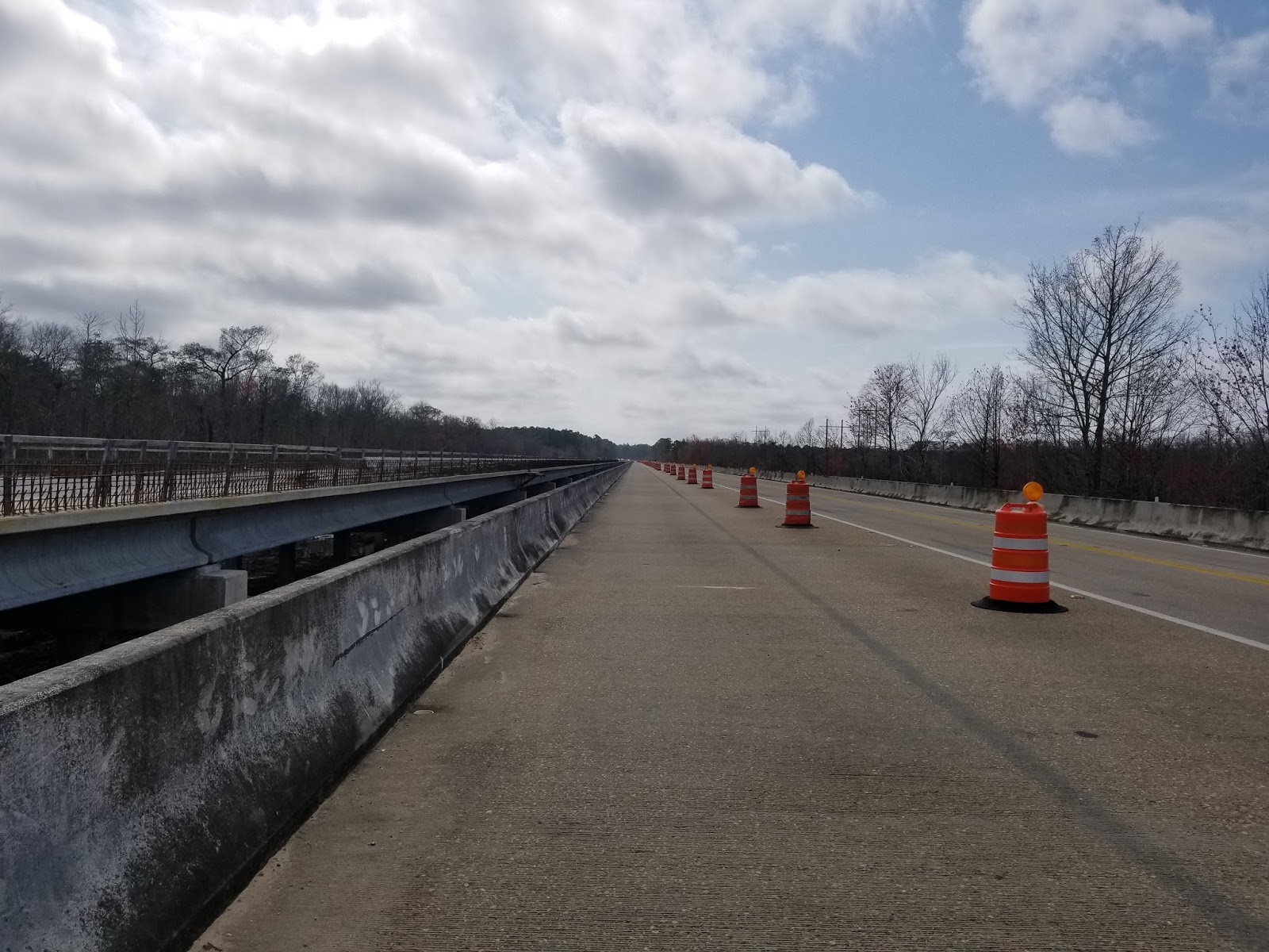 |
| Construction on SR87. |
Part way along the road walk, the maps went up. It was a happy coincidence that I missed the earlier trailhead as all those sections on the other side of 87 were closed off. It wasn't until the trailhead that I currently aiming for that the trail opened back up to public access. And then, it was only open for 2 zones. I would have to cut back out on the road for that last tiny bit that veered into another red zone.
I kept my head down, navigated construction, and got to the trailhead. I walked inside a little ways and set up for lunch. It was a late lunch and I was tired. After lunch, I picked my way through the quiet forest, taking one last, nice boardwalk and bridge combo.
 |
| Back in Eglin. |
 |
| I will miss these bridges. |
Then, I spilled back out onto the road. I took a side road until I hit 87 again. Luckily, this is where the sidewalk started. I took about 4 miles of sidewalk through Navarre until I hit the water late in the day.
 |
| Sign for Navarre Beach . |
CopperTone said he would be in the park by the water, but I couldn't see him. I sat at a table for a while, admiring the ocean and the bridge I would be crossing tomorrow. It waa hard to believe that after crossing all those swamps and forests, that I was actually at the ocean.
 |
| The causeway I will be crossing tomorrow. |
Vlog
I didn't see CopperTone, so I walked to the Best Western where Rambler had our hotel room that we were going to split. I finally ended up interacting with him without a tent wall in between. I also received a message from CopperTone that he was helping Jeremy out in Pensacola, and we arranged to meet him on the trail for magic tomorrow instead.
I showered at the Best Western, then went out to dinner with Rambler. After dinner we split a load of laundry and headed to bed.


Comments
Post a Comment