22.2 PCT miles
I was dropped off around a quarter to 7 (am) on Cameron Canyon Rd, where I had been picked up before the weekend. I had a bit of a road walk ahead of me, but I was looking forward to the day. Today I would be officially transitioning from the “desert section” of the PCT to the “Sierra section.”
I live in southern California. The desert section is my backyard and I have previously been to many of the places the PCT runs through. The Sierra section is new territory. While I have visited the Sierra-Nevada mountains several times, I have not spent much time in the backcountry. So, I am excited.
 |
| Cameron Canyon Rd. in the early morning. |
I walked down Cameron Canyon Rd to where it crossed over highway 58. When I was almost at the crossing, a car slowed down. It was a woman who was heading into Tehachapi and she asked if I needed a ride. I let her know that I had just been dropped off, but that was very nice of her to offer. The PCT notes say to try to hitch into Tehachapi from the road 8 miles back because it was so hard to catch a ride near 58. I almost felt guilty for turning down such a rare offer.
I crossed highway 58 and signed my name in the rusted trail register at the trailhead. Instead of going straight into the mountains, the trail paralleled the road for at least a mile. It was separate from the road shoulder, but it followed it in close proximity.
 |
| Crossing over Highway 58. |
Eventually I started heading into the Sierra foothills. It didn't feel like the Sierra. Even as I climbed up in elevation, it was clear that I was still in the desert. There were Joshua trees everywhere. I love Joshua trees, but I wasn't exiting the desert as quickly as I had hoped.
 |
| The trail finally heading away from the highway. |
 |
| Joshua trees. |
 |
| Heading up. |
 |
| Joshua trees and partly cloudy skies. |
It was a long, windy, switchbacky climb up. I think that once I started the climb I had about 5 miles of uphill before it evened out. I had some nice animal sightings along the way including both cottontail and jack rabbits, as well as a gopher snake. While I was climbing I was passed by a set of 3 hikers. One of them I had briefly met last week. Her name was Sunshine.
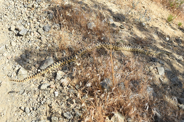 |
| Gopher snake. |
 |
| Cottontail rabbit. |
 |
| Jackrabbit |
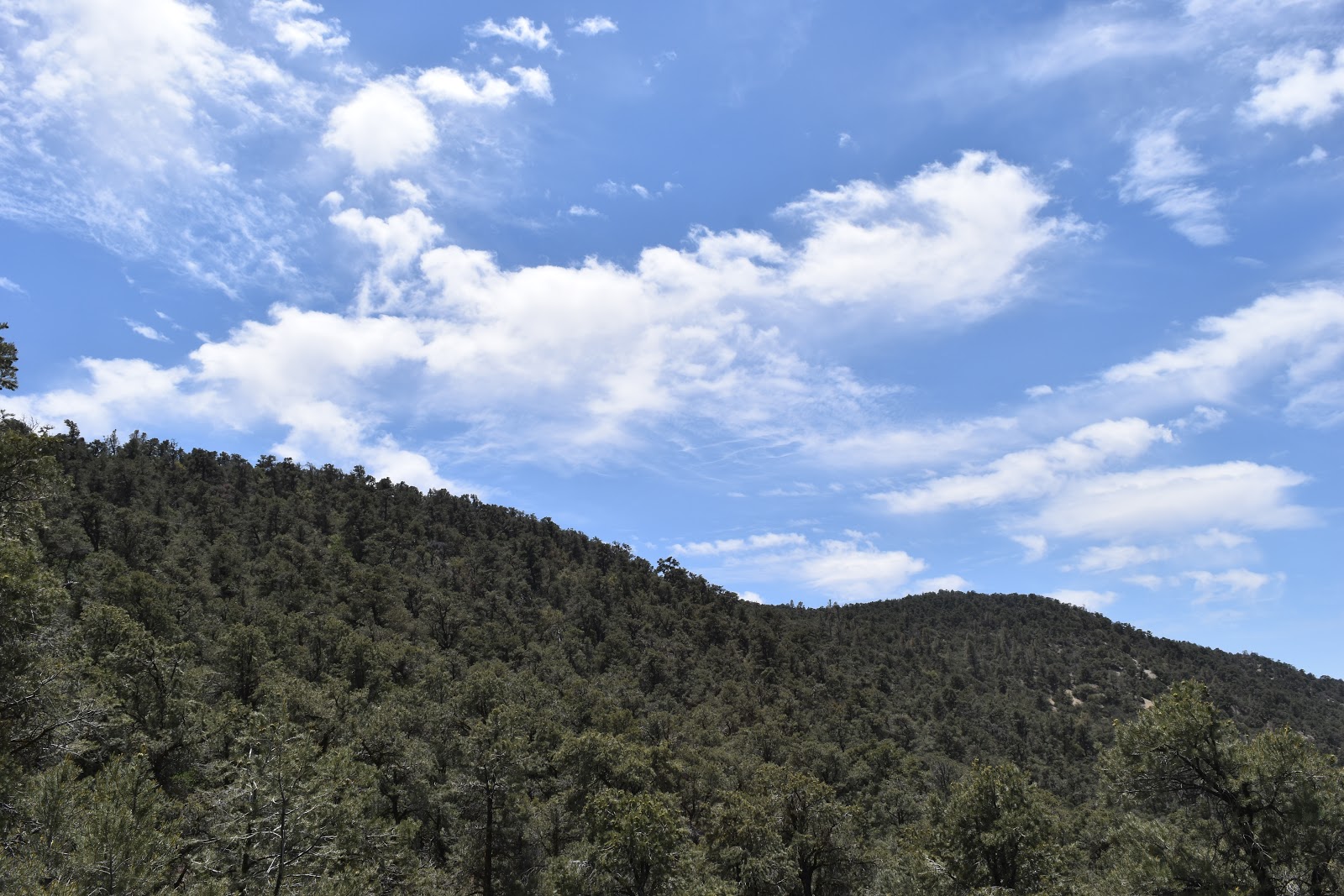
Even as I stopped switchbacking, the trail still continued to gain in elevation. At least I started to see more green vegetation. The trail crested the mountains and eventually I saw a change in vegetation as it transitioned to lichen covered rocks, pines, and junipers. The smell was amazing. I wish I could have bottled it up.
 |
| Lichen covered rocks. |
 |
| More lichen covered rocks. |
 |
| Riding the crest. |
 |
| More of this, please! Breathe it in. |
Soon after the climb was finally over, the PCT joined a dirt road for several miles. I had to keep checking my app to make sure I hadn't missed a turnoff. The road led up to some wind turbines, where it became a trail again. I was wondering if we were still in that large wind farm I had crossed though the last day I was on the trail, or if this was yet another farm. The turbines we were passing by were Vestas lattice turbines, which may have been running since the 80s.
 |
| The trail at a higher elevation. |
 |
| The view at a higher elevation. |
 |
| Sometimes the PCT is both a trail and a road. |
 |
| Vestas lattice turbines. |
Finally, the PCT became the PCT (trail) again, and wound around the sides of the mountains leading to Golden Oak Spring. This spring isn't always reliable, but it was flowing nicely today. You can camp there, but I filled up my waterbottles and left. It was a heavy water carry, as I had 19 miles to my next water source, plus I needed at least two cups of water to rehydrate my dinner.
 |
| The view past Golden Oak Spring. |
 |
| Horned lizard sighting! |
Past Golden Oak spring was one more set of Vestas lattice turbines. There was a note from anther hiker in Guthook about some sheltered campsites in the mile just past were the turbines were. Guthook usually says how much space is available for camping, but since that site wasn't listed, I wasn't sure what to expect. I was a little worried because the three hikers I had been leapfrogging with all day were both ahead of me and headed to the same spot. Luckily, once I got there there were still a couple of spots tucked away in the trees. They were also sufficiently far enough away from the others that I hopefully wouldn't disturb them.
I set up my new, shiny tent and, as advertised, it did have more interior space to move around in. I was able to get some extra stretches in that I was not able to do in my old tent.
 |
| The maiden voyage of my Copper Spur HV UL1. |


Comments
Post a Comment