24.7 PCT miles
This morning I started out by finishing the uphill climb I had started the night before. I still had about two more miles of uphill before it started to go down again. The sunlight was streaming through the trees during this section, which made it really pretty to walk through.
 |
| Not a bad way to start the day. |
After I hit the crest I was going to head down until I got to Chimney Creek. The nice thing about this section was that it was still mostly covered in trees. And, those trees were not Joshua trees. Finally! Hopefully that meant I had officially left the desert. In addition to the (non Joshua) trees were large granite boulders and close to Chimney Creek there was a beautiful, large meadow. Did I do it? Did I finally transition? It felt like it.
 |
| Mountain meadow. |
 |
| Boulder formations along the trail. |
I filled up with water at Chimney Creek. Here I met one of the hikers from yesterday, named Ballistic. It was a name I feel like I have seen on the trail register before. I was reluctant to introduce myself to people this week, since I was only hiking about 2.5 days, but you never know when you will meet people again. They may have to take time off for injury or get held up for some other reason.
 |
| Chimney Creek. |
After Chimney Creek was another long uphill section. That would be where the majority of my day would be spent and it was hot again. I tried to convince myself it was a good thing. If this heat persisted like this the snow might consolidate by the time a come back to the trail in a couple weeks and perhaps the peak of the snow melt (and swollen rivers) will have passed. At least that is what I am hoping.
 |
| Heading up. |
I arrived at Fox Mill spring a couple miles after Chimney Creek, where all the other hikers were resting in the shade again. I have a feeling these guys do the early morning hiking-siesta-late afternoon hiking routine. Since I had just filled up on water, I grabbed another liter of water to drink right there and then continued hiking.
 |
| View from the long, uphill climb. |
 |
| Another view from the long, uphill climb. |
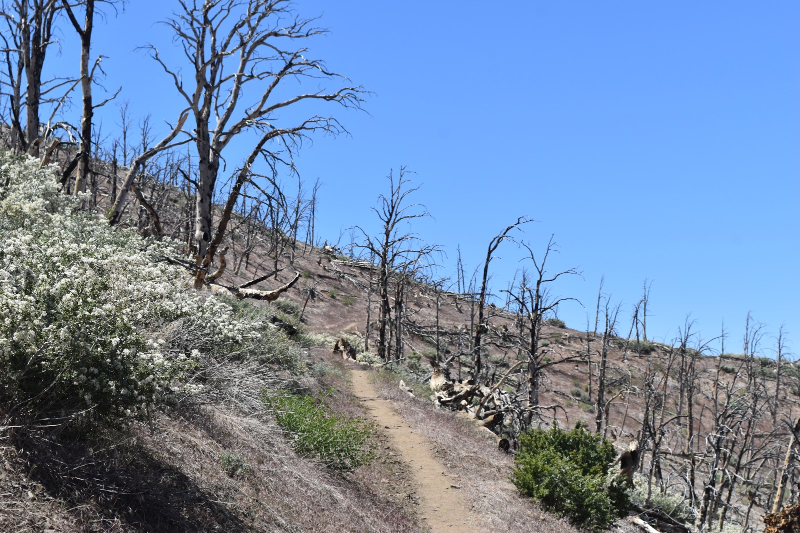
I very slowly made my way uphill, listening to snippets of stand up comedy on my satellite radio, and resting in shade every so often. This took most of the day. Eventually I went over a pass into another burn area. At least it would be downhill through the burn area. I also saw snow in the distance. It already kind of looked like the snowline was creeping up higher in elevation than last week, but maybe it was my imagination. I also saw more granite formations. I finally hit a pass that didn't have desert on the other side! Hello, Sierra-Nevada Mountains!
 |
| More burn area. |
 |
| Snow in the distance. |
After several hours coming down the burn area (and switching to a music station on my radio), I finally got to the creek at Rockhouse Basin. I filled up one last time as I was now only 10 miles out from Kennedy Meadows South. I still had a couple hours of light left and my legs felt pretty good, so I was going to try to make it to a tentsite a few more miles north.
 |
| The home stretch to Kennedy Meadows South through Rockhouse Basin. |
The hike in that section was beautiful as it was a rolling valley surrounded by granite mountains. The terrain alternated between large boulders and swaths of pine forest. The sun was starting to go down at this point and casting beautiful light on everything. Despite the grandeur I was getting tired. This was already more miles than I had been walking lately, but I felt I could use the extra conditioning since I had a large break coming up. I had to sit down a lot, especially in last mile and a half. When I got to the tentsite I was looking for, someone already there. There was space next to him, but the surrounding area was mostly flat so there were other choices. I settled on a slightly sloped site, but was tired enough not to care about the slope.
 |
| Rockhouse Basin. |
 |
| Fading light in Rockhouse Basin. |


Comments
Post a Comment