Formerly Susanne's PCT Journal. This is a simple trail journal of my long distance thru-hiking adventures/misadventures. Family, friends, and total strangers are welcome to come along for the journey!
-Susanne aka "Snapper"
AZT 2019 Day 5: Campsite near creek (mile 71.1) to Forest Road 4026 (mile 92.5)
Get link
Facebook
X
Pinterest
Email
Other Apps
21.4 miles
The morning proved to be a walk through the history of the Santa Rita Water and Mining Company. I had seen some of the ruins yesterday as well. There were wonderful information signs along the route that explained what you were passing by on the trail.
Informational sign.
The mining company was attempting to use hydraulic mining (spraying pressurized water onto the dirt) to extract gold from the region. It wasn't a very successful endeavor. It required extensive construction to funnel enough water down from the mountains and ended up extracting far less gold than what was originally thought to be in the area.
A pipeline system was created, starting at Bear Spring, and funneled water through several canyons to the valley below. A dam (Stetson's Dam) had to be constructed for there to be enough pressure for the hydraulic mining to work. I passed by ruins and remnants of these structures and headed down into the valley below.
Stetson's dam in the morning light.
Looking back at the mountain and canyon.
Pipeline remnant.
Making my way into the valley.
The valley itself was rather “bumpy.” This area was mined even before the hydraulic mining was attempted. To get down to the gravel layers that contained the placer deposits, miners had to dig down and discard the top layers. This created a series of mounds and pits, now covered in grasses.
Informational sign.
The valley.
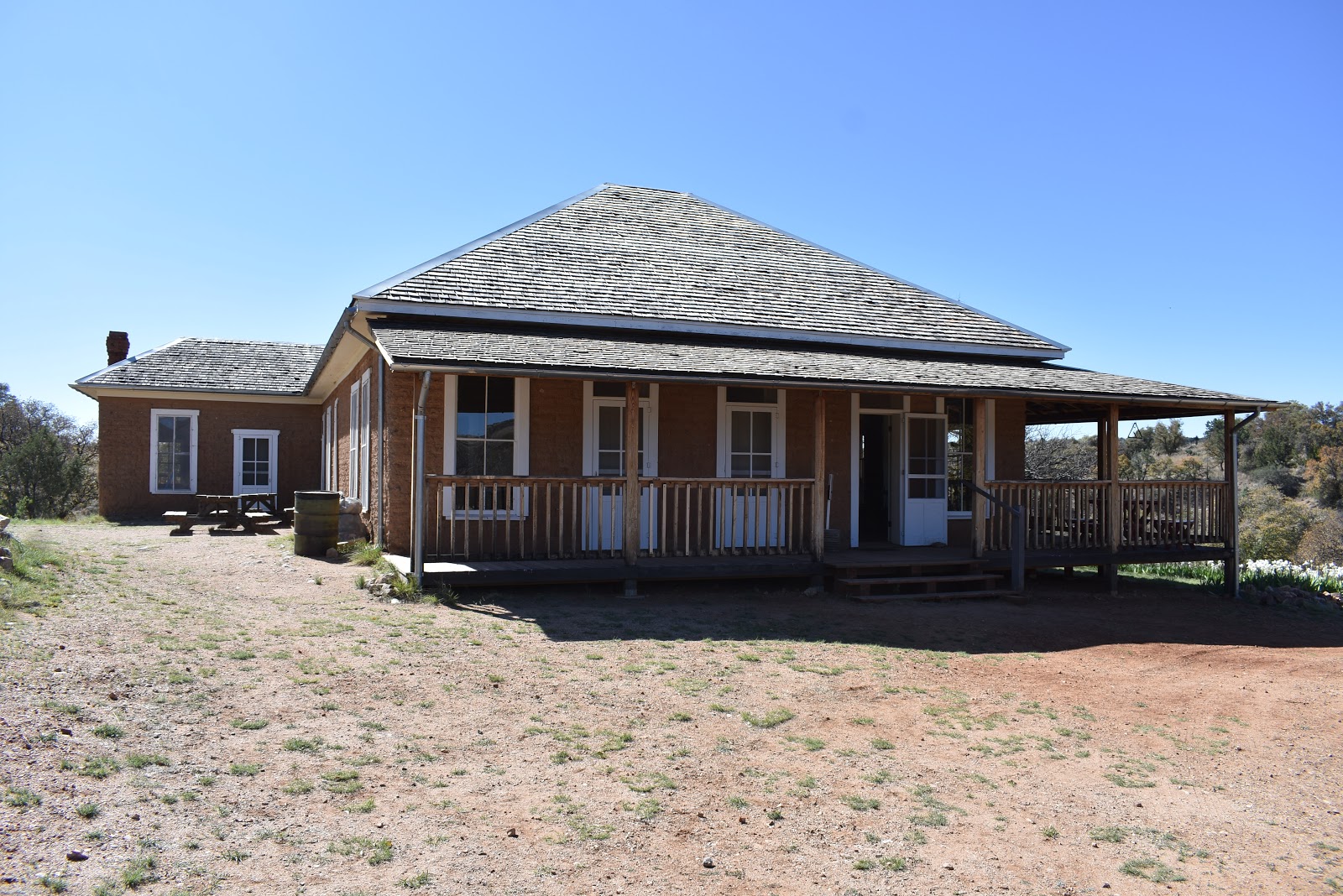
I then moved from the valley into Kentucky Camp, the headquarters for the area's mining operation. I was surprised at how well maintained the buildings (built in 1904) were. There was a hotel, assay office, and a couple of Adobe cabins, all currently managed by the US Forest Service. The hotel is a Visitors Center, and you can rent out one of the adobe cabins to spend the night. While I was there, I chatted with the three Canadian men who had rented it out for the previous night. As an added bonus to thru-hikers, Kentucky Camp also had toilets and potable water.
The gate leading to Kentucky Camp.
The hotel.
Inside the assay office.
Hydraulic mining equipment.
Ruins at Kentucky Camp.
I left Kentucky Camp and took a series of dirt and two track roads for an extensive tour of the Santa Rita foothills. As always, there were plenty of cows in the area. The trail took me up to a nice viewpoint of the surrounding area, then dropped me back down in elevation to get to know the foothills in even more detail.
Mountain roads.
Mountain views.
More mountain views.
It was mainly grasses I was walking through the rest of the day, at times sparsely dotted with trees. It was incredible windy the whole time. I had my sun hat tied down tight, but the wind kept my brim in a constant state of “flipped up” and was even strong enough at times to push the hat partially off, despite being well secured.
Foothills.
Towards the end of the day I started seeing more cactuses and desert plants such as prickly pears, ocotillos, and agaves. I also saw deer. Lots, and lots of deer.
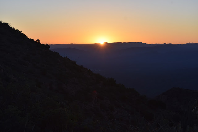
There weren't many good water sources in the area, but I found a small stream about a quarter mile from where I set up camp and was able to pick up water for dinner and hiking tomorrow morning.
20.3 miles Just like the past few mornings, it was difficult to get up again. Unlike the past few mornings, I could actually see snow on top of my tent. It was supposed to rain or snow on and off the majority of the day again. That was not a motivating thought to get me out of my sleeping bag. I had also finally used the hand warmers that I had purchased back in Flagstaff, and they were still warm inside my bag. Somehow, I emerged from that bag and packed everything up one last time. I was only about 20 miles from the Utah border and on schedule to finish the trail today. Most of the items I had on me were damp or wet. It didn’t bother me packing them up as I knew I would be warm and dry tonight. What did bother me was having to put on my wet, cold, dirty shoes. After I did that, I had wet, cold, dirty socks as well. In Flagstaff I had also picked up toe warmers, so I stuck those inside my shoes and hoped that they would help. The view looking out of my tent. My camps...
26.6 FT miles I had meant to get up really early this morning. There were only two places in the St Marks National Wildlife Refuge where you could camp, and there was one that was supposedly one of the best, if not the best, campsite on the trail. However, it was over 26 miles away. Some of those miles were going to be road walks, so those parts would go quickly. On the other hand, if we encountered swampy areas, it might be a very long day. A little before dawn I yelled over at Sugar Rush to see if she was awake, which she was. We packed up in the dark and, just like last night, went crashing through the brush trying to stay on trail. There were some parts that were clear and other parts that were not so clear. When the sun came up, things didn't necessarily get better. We started to realize why we were having so much trouble last night. Even with daylight we couldn't always track the path on the ground and had to search as a team for hidden blazes. The river made...
14.8 miles I woke up early again today. I figured if the trails today were anything like the trails I ended the day with yesterday, I would need more time. The plan for today was to get to Roosevelt Lake by noon, then wait out the afternoon heat and do a few more miles near sunset or just after dark. Sunrise. Roosevelt Lake had a store that accepted resupply packages. I had a general resupply sent there and my mom sent a box of treats as well. The store also had a bar/restaurant attached. To top things off, people had reported their wifi to be amazing. I figured it would be a good place to spend my time and money. They apparently didn't want hikers hanging around to charge their electronics or wiping themselves down in the bathrooms, and also sent hikers to the ranger station to refill water, but I figured I could work around that. The hills themselves weren't too bad as I started my day. I rolled up and down the grassy hills with views of the lake. Overall, t...


Comments
Post a Comment