FT2018 Day 46: Shell Island Fish Camp (mile 770.4) to Bent Sapling Camp (mile 799.2)
28.8 FT miles, but probably less because of detours
Despite taking a half day in St. Marks and staying in a hotel, I did not get much sleep. I took a little too long to start on my blog and vlog uploads, and the internet was very slow. It took a long time to upload even a single picture. I worked until around midnight last night, then got up at 5 am to finish what I could.
I had originally planned to start in the dark this morning, but ended up leaving in the early light. I had to cross the border from St. Marks National Wildlife Refuge to Apalachicola National Forest because of camping permit requirements in the NWR. The border was approximately 27 miles away.
I left the fish camp and walked the residential roads until I came to the trail. In this section it followed the bike path that was built on an old railroad bed. It was a nice bike path with regular benches, trash cans and privies. There was dense fog again this morning which provided an eerie feeling.
 |
| Morning on the bike path. |
When I got to US 98, I had to turn and take the highway. The trail was supposed to run parallel to the highway, but it was under construction and was an expanse of mud and uneven dirt. I did my favorite thing in the world, I walked the highway shoulder.
The highway had construction as well. I would later learn that they were building a new bike path. I took the shoulder for a couple miles and passed mile 775, which should mean about ¾ of the trail has now been completed.
Soon after, I had a truck pull off the road in front of me. Usually it that means someone wants to talk or offer a ride. It was a man who was involved in the bike path construction and he wanted to let me know that I had missed my turn. I looked back and, sure enough, there was a Florida Trail sign behind me. To my credit, it was partially blocked from my view while I was walking towards it by the construction.
I then re-entered St. Marks NWR. The trail here wound through the trees. It didn't really seem to have a reason to either as it wasn't avoiding natural features, it was all flat forests. I guess whoever designed the trail thought a drunken meander would be more pleasing. I just thought of Sugar Rush who still had to hike a long ways after leaving town in the afternoon yesterday. If she had to do any of this in the dark it would have been frustrating.
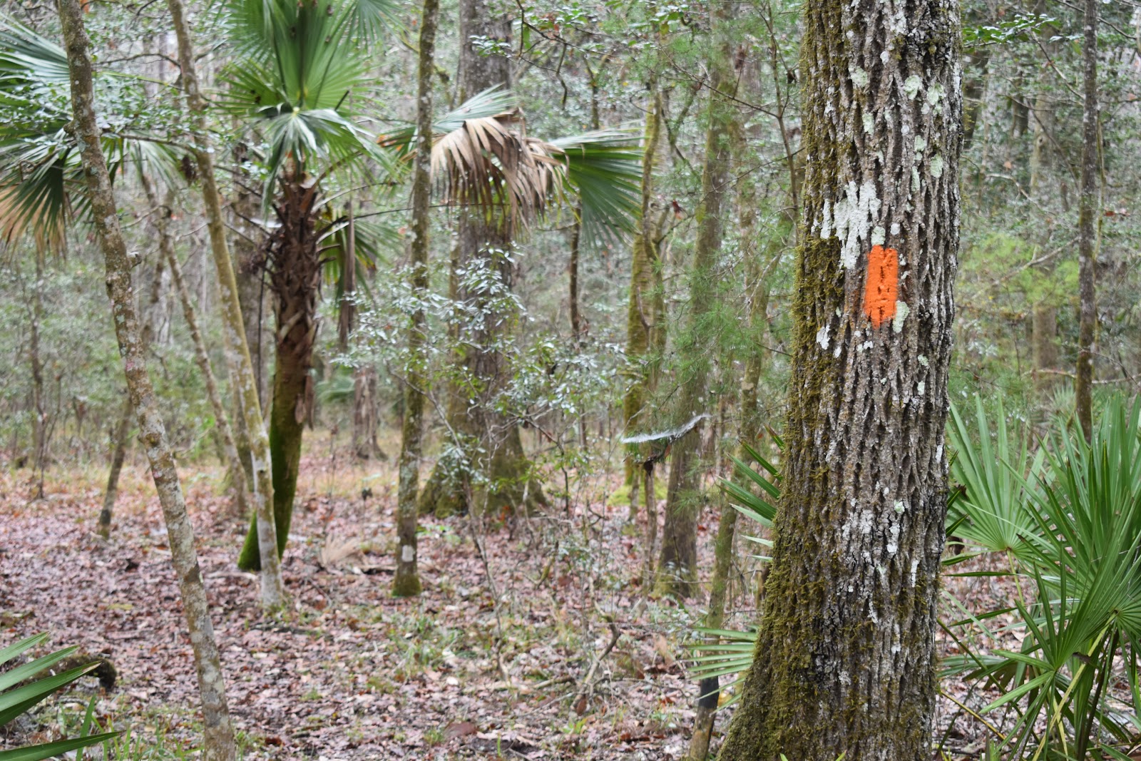 |
| Back on the trail. |
 |
| Slippery cypress swamp boardwalk. |
The good thing about this section of trail was that it was dry. The leaves were damp underfoot but the soil was not soggy. I wound around the forest for a while before joining a jeep road. I was actually happy to see the jeep road, as I could move faster and check off some of the miles I needed to do today.
When the jeep road ended, I spilled out into a pine forest again. Things went pretty smoothly until I almost stepped on a snake again. Well, I guess it was more like I stepped next to the snake. It was off to the side, sharing the trail with hikers.
 |
| Bluestripe ribbon snake. |
Vlog 1
Soon I came upon the big detour for the day. I had heard about this and was expecting it. There was supposed to be a boardwalk or bridge over a tidal creek floodplain. It wasn't there at the moment. The trail closure page warned that you could get stuck out there and not be able to get yourself out. So, I followed the roadwalk detour.
 |
| The Florida Trail detour sign. |
The road walk was a little over 4 miles, but it was so monotonous that it seemed longer. I had one resident pull over and ask why I was walking. I told him about the Florida Trail and about the detour. He admitted that I was the 4th person he had seen walking the road. It still amazes me that people can live that close to the trail and not know it is there.
 |
| The monotonous roadwalk. I really have nothing better to do than take a picture. |
As I neared the end of the detour I saw another hiker. His name was Nick. I was very confused since he said he was also going NOBO, but he had been walking toward me. It turns out he had taken the trail itself and not the detour. The look on his face said that he had been through something.
He kind of said that he had regretted taking the detour. He described a crumpled boardwalk, mud to his thighs, and no blazes to follow. He was on his way to a BBQ place in town. I told him to enjoy his dinner, then passed him by and rejoined the trail.
Back on the trail, I walked through a nice pine forest area again. The sun was getting low in the sky and casting beautiful light through the trees.
 |
| The pines late in the day. |
Vlog 2
I hit the border with the national forest and saw Nick’s name on the register. How did he get in front of me? Did he skip the BBQ place?
I walked the trail in the dark for a mile or two, then came upon the first established campsite along the trail. Nick had chosen that site as well. It turns out that he had spent 30 minutes at the restaurant and still beaten me. Stupid youth.
I also found out that he started the trail the same day I had, but this is the first time I had bumped into him. I remembered Day Late described passing Woodchuck and two guys. The two guys were Nick and his friend who had to drop out after about 400 miles.


Comments
Post a Comment