AZT 2019 Day 33: Flagstaff Urban Trail Connector (mile 565.0)/Flagstaff to Highway 89 Junction(mile 583.7)
~25.7 miles total (18.7 AZT miles)
**Due to internet issues I was not able to publish all the photos. They will be uploaded within the week.**
**Due to internet issues I was not able to publish all the photos. They will be uploaded within the week.**
It was admittedly hard to leave my warm, dry bed. I had cranked the heat up in the room as well, so when I stepped outside it felt pretty brisk.
There was an awesome sunrise this morning, and I saw a Amtrak train pull into the station as I walked by. I wondered if it was the same train I took from Los Angeles to Chicago recently. I remember we had stopped at Flagstaff very early in the morning.
 |
| Sunrise at the Amtrak station. |
Between my hotel and the connector junction with the AZT was a little over 6 miles. Between yesterday and today I would be hiking something like 12-14 miles that didn't get me any closer to Utah. I tried not to think about that or the distance to the junction. I just kept my head down and walked.
Eventually, I made it to the trail junction, which was next to some very cool looking cliffs. There were actually 2 versions of the Arizona Trail at this junction. One was a shortcut through Flagstaff, which I had partially taken to get into town. The other looped around the greater Flagstaff area. I was here to hike the trail, so I opted for the full loop.
 |
| Cool cliffs. |
There was a cool looking cave in the cool looking cliffs, so I took a little detour to check it out. The next part of the trail climbed up a canyon. It was full of boulders and trees, and a nice change of scenery. I even got a glimpse back at Flagstaff during the climb.
 |
| Cool cave. |
 |
| Climbing up the canyon. |
When I reached the top, there was a trail junction. I saw that Fisher Point Vista was only 0.1 mile off trail, so I went to check it out. It was a nice view, and I looked out over much of what I had previously walked. Straight below was the junction I had just taken, meaning that I was on top of the cool cliffs I had seen earlier.
 |
| The previous trail junction as seen from Fischer Point. |
After that I walked flat trail for several miles, once dipping into and back up the other side of the canyon. It rained off and on during this period. I found a set of trees that partially sheltered me from the rain to eat lunch.
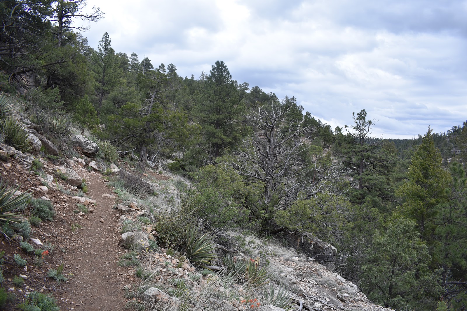 |
| The AZT running alongside the canyon. |
Not much further along the trail, I hit Walnut Canyon Road and decided to do a detour to Walnut Canyon National Monument, where you could see the cliff dwellings of the Sinagua people. I had only seen cliff dwellings in books, so I was excited that it was that close to the trail.
Despite being a soggy day, there were many people there including several school groups. I was the only one carrying a big backpack though. I convinced the front desk to let me store my pack with them.
The rain had picked up since I entered the visitors center, so I visited the museum section first. It gave my a nice introduction to what I was looking at. I was surprised to hear that even though they were old (12&13th century), the Sinagua people only lived there about a 100 years before moving on, presumably because they overused the area's resources. They also chose to live in an area without a water source and had to collect/store their water from the winter weather.
I left the visitors center and went to hike the 1 mile Island Trail. There is an “island” of rock in the canyon filled with dwelling ruins. The topography of there area is impressive by itself, but seeing the island and the rest of the canyon filled with homes stuck right into the cliff was like nothing I had ever seen before. Except, maybe in the movies.
 |
| The "island" in Walnut Canyon. |
 |
| Cliff dwellings along the Island Trail. |
 |
| The Island Trail. |
I walked the trail, right along the overhangs and wall ruins. It actually made me wonder how the Sinagua people moved from dwelling to dwelling without the nice paved path. I imagine it was fairly tricky, especially since the dwellings were on different levels of the cliff.
As I ended the trail, the rain started to pick up again. I went inside, grabbed my pack, and filled my water bottles at the fill station. I then checked the forecast/radar. It looked like it was going to rain, sometimes hard, the rest of the day. I might as well just face it.
I left the monument and connected back with the trail. The rain was cold, intense, and partially frozen. Sometimes it was little round balls of hail. It was also flooding the trail. I tried stepping around the trail at times, but there were sections of fine mud/clay that were really slick and I almost fell in one.
 |
| Back on the wet trail. |
A mile or two down the trail I was starting to regret not staying at the visitors center. Today was the middle of the storm system, so I was imagining getting into my tent soaked tonight, and having all my gear soaked for the next two days. It was really cold too, so that wouldn't have been pleasant.
Then, I remembered I would be crossing another road into town. It seemed weird to get a hotel room two nights in a row, but it also didn't seem necessary to be so cold and wet near an urban center. Kind of like camping in your backyard and not coming in for inclement weather.
I buried my head down and made it to the I-40 underpass and checked my phone. I was already very cold and dripping wet. I knew there would be no sun, or pause in the rain, to dry out. I made the decision to come back into town.
I looked at the app and saw that the resupply junction I was thinking about using to come off trail was still over 7 miles away. Damn, I thought it was closer than that. I had been lingering at Walnut Canyon for a while and it was now 3:30 PM. I told myself that I only had to make it to the junction and I would have the opportunity to get warm and dry.
I put my head down and powered through the trail at as fast a pace as I could without slipping. The rain eased up, but fell steadily for the next few hours. The temperatures were probably low to mid 40s, but if I kept moving I stayed warm.
I don't like powering through the trail with my head down, but there wasn't much to see in the storm. When I was at Walnut Canyon, it was clear that the cloud layer was right at the rim which I was walking. I knew there were mountains around me, but I couldn't see them. Every once in awhile I could see a surrounding hill pop through the clouds.
 |
| Low cloud layer. |
When I was about 1.5 miles from the road crossing, the rain got heavy again. Just like before, it was partially frozen and hurt when the winds gusted. I was drenched by the time I got to the road.
I headed for Mary's Cafe, located near the crossing, to get inside, get hot food, and orient myself to find my hotel. I was so wet, the server offered to get me a towel. I started shivering as I ate my food, despite being indoors. I switched to my puffy, which then got very wet from coming in contact with my shirt. It still kept me warmer than my rain jacket, but not as warm as it usually does.
My hotel was on the Route 66 bus line, and there was a bus stop not far from the cafe. However, it was getting dark and the weather looked worse. I also saw that the busses on that route were hourly in the evening, and I could not find the exact time the bus would be at my particular stop. I ended up taking my very first Uber ride to get to the hotel.
Once checked in, I cranked up the heat on the heater, and set the luggage rack and desk chair up next to it with all my gear laid out. For the most part everything not in a waterproof bag was damp, and everything on the outside of my pack, including the clothes I wore was soaked.
I jumped in the bathtub and soaked in hot water until my body was no longer cool to touch. Then, I hopped in the bed. I have a good, extra warm sleeping bag, but it would have been put to the test tonight. The bed was definitely better at keeping me warm and comfortable. I just hoped that my gear would be dry by tomorrow morning. This storm system would be here for at least two more days.


Comments
Post a Comment