Trail Day 85: Beldon Town Resort (mile 1245.3) to tentsite (mile 1299.9)
15.6 miles
I got absolutely no sleep last night. The music from the festival was very loud and still going at 4 am. I had camped near the train tracks and there was a freight train that seemed to come by every hour, shaking the ground and screeching on the tracks.
I started packing up at 6 am and figured I would be the only one up. I was wrong. There were quite a few festival goers up and walking around and they all wanted to talk to me and try to convince me to stay.
I eventually made it past everyone, and over the bridge to Highway 70. Instead of getting back on the trail, I turned right on the highway to head to Caribou Crossing, where my resupply package had been sent.
I was cursing sending it to this place the entire walk. It was 2.2 miles down highway 70, which didn't really have a shoulder. Luckily it was morning and there were not many cars on the road.
I reached Caribou Crossing around 7:30 am and everything was shut down and locked. The store, that was also a cafe and post office, wouldn't open until 8 am. I was glad that it was a Saturday, otherwise it wouldn't have opened until 10 am.
When it finally did open, it was a really friendly place. I got my package, then ordered breakfast. I got an omelette with home fries and toast. It was delicious. I also got a blackberry milkshake, which was equally delicious.
I tried charging my electronics, but they were charging really slowly and I needed to get back on the trail. I had one of the longest climbs I have done on the trail ahead of me, about 14 miles of uphill. I had come down significantly in elevation so I needed to start it in the morning before it got too hot.
When I was ready to leave, the woman running the store offered to give me a ride so I didn't have to walk the dangerous highway. She dropped me off at the trailhead and I started up around 10 am.
 |
| Stamp mill near the trailhead. |
It was already really hot. The trail was exposed on that first part of the climb and I was dripping in sweat. I had to stop a couple times to cool down.
 |
| Gaining in elevation. |
 |
| There are trees here, they are just burned. |
Luckily, trees appeared right around the border to Lassen National Forest. As I slowly kept gaining in elevation, the trees started growing taller and thicker.
 |
| Trees! |
The walk was pretty, and I crossed numerous small streams, but it seemed to never end. I was excited when I reached a saddle and it looked like I was near the top. I checked my GPS and I still had 2.5 miles of uphill to go.
 |
| Waterfall on the trail. |
 |
| Not quite to the top. |
As I was on this last stretch, I had another weird deer encounter. There were two deer that were near the trail and got spooked when they saw me, running off. Then one of them came back and started walking down the trail. It got within a few feet of me and stared.
 |
| Way too friendly. |
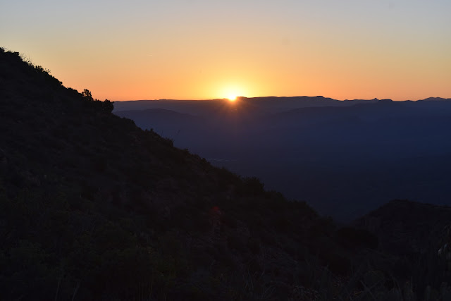
 |
| Other side of the mountain. |
 |
| Wildflowers. |
 |
| 1,300 miles. |


Comments
Post a Comment