23.4 PCT miles
I started the day by finishing my climb out of the valley I had entered last night. The trail did a series of short ups and downs before it dumped me out into rolling hills with green vegetation and wildflowers.
 |
| Going up again. |
Sticking up out of the green were cool rock formations, many of them with spires. Sometimes the rock had a reddish tinge. The scenery was striking and, at times, otherworldly. Luckily, I was walking through this scenery most of the day.
 |
| Entering the cool section. |
 |
| View from the trail. |
 |
| Heading towards another set of rock formations. |
 |
| Spires. |
A few miles into the day today, I hit a paved road. I ended up seeing a lot of people in this area. A couple people were day hikers, not even carrying a backpack. Just north of this road I bumped into about a dozen southbound backpackers. I think I may have seen a total of three backpackers all of yesterday.
I also was passed by a familiar face. Dodger, one of the women I hiked Mt. Whitney with was on the trail with me. She is also a slower hiker and was hiking at her own pace sans-group. We ended up hiking around each other most of the day and had made similar plans as far as the distance we would go today.
My knee and foot were feeling much better than yesterday. I think taking it easy and hiking slow did them well. I was going to continue to hike slow today, but if I reached mile 1070, I would try to make it to Highway 50 the next day for the hitch into town (South Lake Tahoe). It would be about a 20 mile day if I did that. I would just have to be aware of the time and try to get to the road at early as possible.
 |
| Wildflowers. |
 |
| Water source. |
 |
| View of a valley in the distance. |
 |
| Coming down some switchbacks. |
 |
| The PCT winding through interesting feature s. |
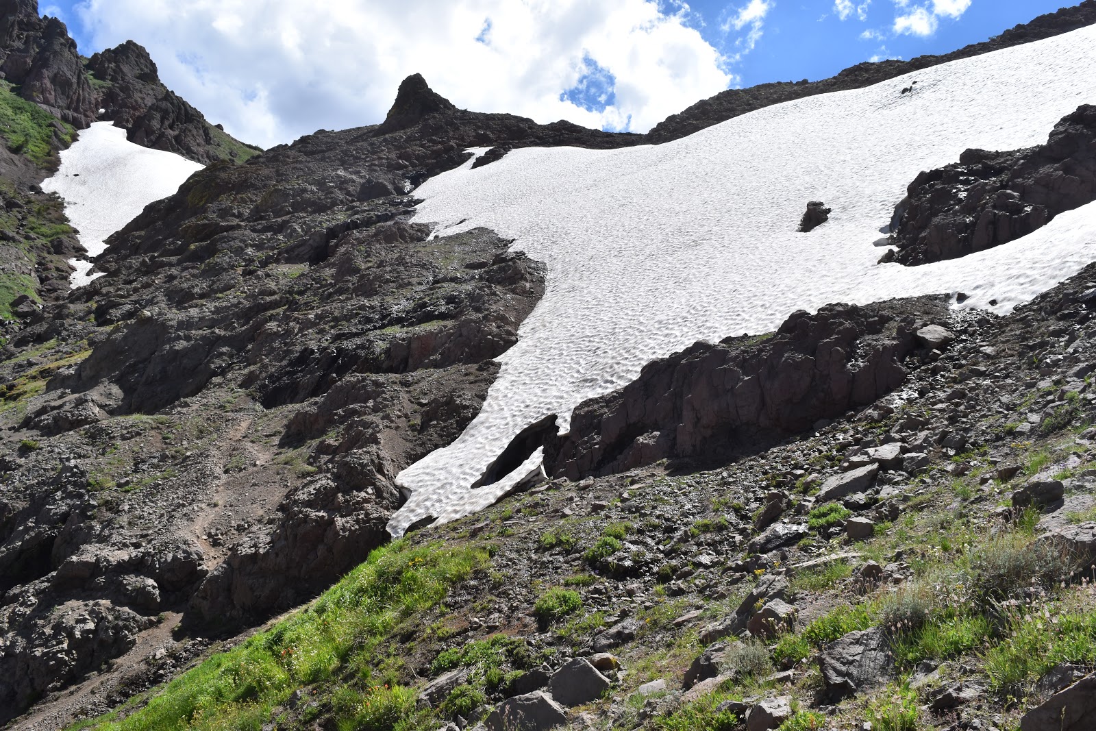
The hike was fairly easy with nice views until I rounded a corner and saw a snow chute over the trail. Not only was it steep, but it was melting as well, forming a snow bridge. That meant if I wanted to kick steps across it, there was also a chance I would fall through.
It looked like there was a path that skirted around beneath the chute, but it was on very steep dirt. When I reached the chute, Dodger was just starting to cross and a father/daughter southbound pair had just finished. Dodger later told me she had been waiting an hour for them to make their way around the chute. I have a hard time believing it was that long, but I do believe it took them a long time. They seemed pretty relieved to be across it when I bumped into them.
Neither Dodger or I took a long time making our way around the chute. We took our time to be sure, but with the amount of traversing, scrambling, and bushwacking experience we have had recently, it wasn't too bad.
 |
| Looking back at the snow chute. You can see the trail people made to avoid it coming down on the left. |
Soon after, we started the long climb that would end our day. We were both headed to about mile 1070, where there were several different campsites to choose from. Dodger pulled ahead as I slowly worked my way up the climb.
About half way up I was hungry, so I stopped to pull out a snack. While I was eating, a deer appeared out of the forest. In Yosemite I saw a deer every day. Those deer would just carry on with their business like we weren't there. This deer stopped and stared at me for a long time. It was actually pretty weird.
 |
| What? |
The second half of the climb was on an exposed part of the mountain. The wind had picked up in this section and I had to pull my neck gaiter up over my hat the keep it from flying off. It was cold and the setting sun was on the other side of the mountain, making tbe shaded side extra cold.
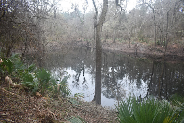
I fought through the cold wind for what seemed like a long time. The views were magnificent. Eventually, the trail dropped down into a heavily treed area around Lost Lakes. I saw some lovely camping spots directly on the shore of the lake and grabbed one. I was surprised no one else was there. They were flat, clear spots with fire pits and logs to sit on. But, I had it all to myself.
 |
| View looking down onto Lost Lakes. |
 |
| View looking back from the mountain. |
 |
| Sun setting behind a mountain. |
 |
| Reflections near my tentsite. |
 |
| Camping on the shore. |


What interesting scenery!
ReplyDelete