Trail Day 106: Tentsite (mile 1792.7) to Sevenmile Marsh Trail Junction (mile 1801.7)
8.0 PCT miles, plus about 7-8 miles detour
It was still hot and smoky when I got up this morning. I was several miles from the Blanket Creek Fire Closure, so I had cowboy camped with my bag packed in case there was an emergency. I had tried to cover my head with my sleeping bag liner, but it had come off at sometime during the night and I had several mosquito bites on my face.
As I was repacking my bag, I noticed another issue. I was almost completely out of water. It had been so hot and smoky last night that I drank more than I normally do. I checked Guthook, and it was 3 miles to the next source.
I started down the already warm trail, sipping very conservatively on my water supply. Around me the sun was coming up and I saw I was above a sea of smoke.
 |
| Sunrise on the trail. |
 |
| Sea of smoke. |
 |
| More smoke. |
As I made my way downhill with only a mile to go until the stream, the temperature got much cooler. I was happy about that because I have come to learn that means water.
I started passing by flowers and green meadows and finally came upon my water source, filling up on cold water. I passed several more water sources, then headed into a forest area again, where the temperature became warmer and I started to smell smoke again.
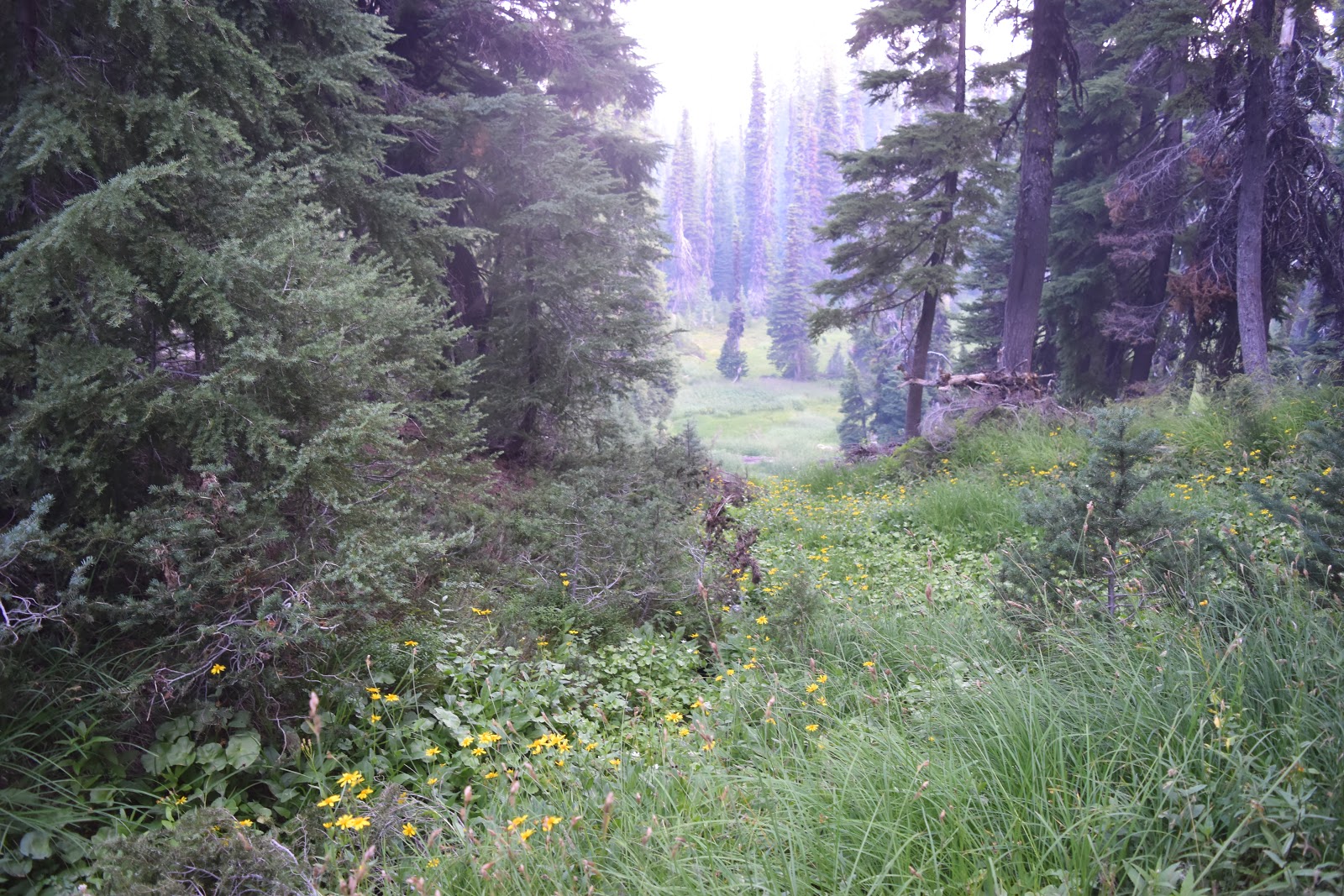 |
| Flowers appearing. |
 |
| Meadows too. |
Eventually, I hit the 1,800 mile mark. As I set my bag down to get my camera ready, I saw a day hiker. I had her take my picture for me and chatted about the trail and the fire I saw yesterday. She said it was the Pelican Fire and it was halfway between there and where she lived in Fort Klamath.
 |
| 1,800 miles. |
Soon after that I hit the closure boundary. There was a large ribbon across the trail and a closed sign. I took the Sevenmile Marsh Trail, which ended up being flat and easy.
 |
| End of the line. |
When I exited the trail, I saw several fire vehicles parked at the trailhead. There were also step by step directions on how to get to Mazama Village from there complete with water sources, milage, and a hand drawn map. It looked like the work of a local trail angel.
 |
| Detour info courtesy of a trail angel. |
 |
| Fire response vehicles. |
I started down one of the forest roads and was eventually passed by another truck responding to the fire. The man driving it slowed down to talk to me. He was part of the Crater Lake National Park’s fire response team. He said that all these fires were caused by lightning strikes and that last year they had zero strikes. I really picked a horrible year to hike the trail.
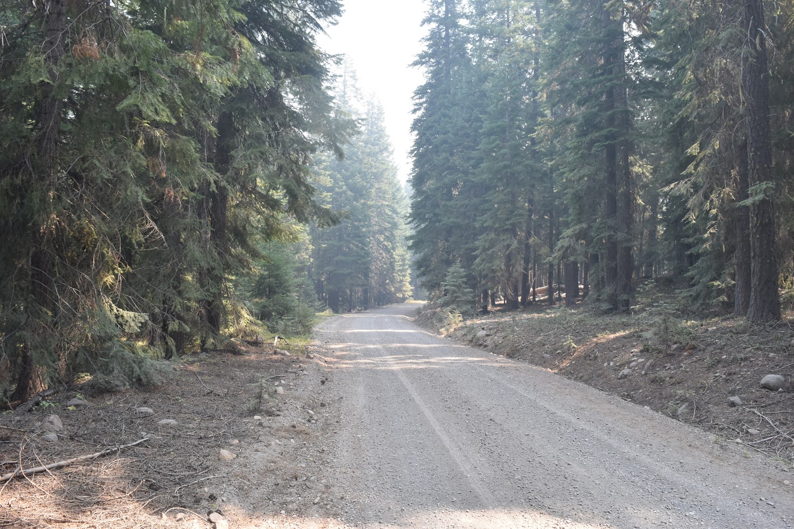 |
| Walking the forest road. |
When he learned I was a PCT hiker, he offered to top off my water. He was also impressed that I was trying to hike as much trail as I could and not skipping over huge sections like a lot of other people had. Some people were skipping over the majority of Oregon. He also gave me two bottles of ice-cold Gatorade before I started on my way again.
I took a short break in a shaded spot off the road and then had the option of following the roadway around or bushwhacking to a more direct road. The bushwhacking would save two miles, so I opted for that. It ended up being a pretty easy bushwhack. I had to cross a stream, but there were two fallen logs that made a very convenient bridge.
 |
| Log crossing. |
I reached the other gravel forest road and took it to a paved forest road. I took that road to the last forest road I had to take, only to find it roped off. There was a paramedic there who worked for the Forest Service’s fire response team.
He explained to me there was a possibility that the fire could turn and go over the spot we were at, and the fire crews were “chipping” to create a fire break along that road, so it was closed down. He got out a map and showed me another road that was still open to get to the highway, then gave me a Powerade.
As I was heading out he also said that he could drive me if I wanted a ride. Since there was no longer a chance of maintaining “continuous steps” around the upcoming Milli Fire, and I was going to try to hitch once I hit the highway anyway, and took him up on his offer.
He drove me to Highway 62 and to a snow park area that they had been using for staging. It was full of flaggers who were done working for the day. As I used the pit toilets there, the paramedic (I wish I learned his name) inquired with the flaggers if one was willing to drive me the rest of the way to Mazama Village.
When I came out of the bathroom I had a ride. His name was Jeff and he was from Walla Walla, WA. As he drove me into the park he asked me questions about the trail and I asked him questions about fighting the forest fires. I found out that the Pelican Fire I saw yesterday is one that they are not responding to because it was heading to a canyon where it will “burn itself out.”
After I got dropped off at the village, I picked up my resupply package at the store and unpacked it. Then, I paid $5 to camp in the PCT site at the campground, returning to the store to take a shower and do laundry.
 |
| Mazama Village in the evening. |
After my town chores, I stopped in the store one more time. The store had almost as large and diverse selection of beers and ciders as it did regular beverages. I picked a cider brewed with ginger to bring back to my campsite with me.
 |
| Dinner. |
I ate dinner, then started getting ready for bed. There was a really loud group camping near me playing music and shouting really loudly and for no apparent reason. Hopefully they won't be doing that too long into the night.


Comments
Post a Comment