Trail Day 119: Ridge Lake (mile 2397.8) to tentsite (mile 2421.9)
24.1 PCT miles
I woke to the faint smell of “campfire.” I knew what that meant even before I left my tent. My view was gone. Sure enough, after I packed up and headed out on trail, I was walking through smoke, just as I had in Oregon.
 |
| Smoky sunrise. |
Within 2 miles I came upon the 2,400 mile marker. This is the first of the 100 mile markers I have passed by that has actually been on trail in a while. Should there be no more closures, it is 259 miles to the border.
 |
| Mile 2,400. |
I continued down the trail which was all uphill at this point. A lot of it was over jagged, loose rock, so it was slow going. When I got to a wider area, I stopped at one of the campsites for breakfast.
As I had been hiking uphill, I had warmed up and removed a couple of l layers. When I ate breakfast I started to chill again. After I had finished, I reached in my pants pocket for my gloves. I only pulled out one. Crap.
Should I backtrack and look for it? I thought about it for a minute and decided that I should. I had another pair of gloves, but they were just a shell for the rain. These were my expensive, backpacking warm gloves that I usually wear by themselves, but can also be layered under the shells.
I had walked 3 miles today, but had worn the gloves for at least half of that. That still meant potentially up to 1.5 miles of backtracking to look for the glove, then double that to get back to where I had been once I had found it. I was not happy about that.
I decided to slack pack, which is where you leave your heavy backpack in a spot to pick up later. I was flying without the pack on. However, it still felt like a long way. As I was nearing where I had taken my 2400 mile picture, I saw another hiker.
I blurted out immediately, “Have you seen a black glove?” to which he replied, “I found the owner of the glove,” and pulled my glove out of his pocket. I was so relieved. He had picked up the glove gambling on the fact that it may have been dropped by a fellow northbounder, as opposed to a southbounder.
He was another thru-hiker named Bam Bam. We chatted for a while and exchanged stories, mainly about the fires and the fire closures. It seems like everyone has a crazy story regarding the fires this year.
We then started hiking again as I suggested that I needed to get back to my pack before the famously aggressive PNW mice ate through it. Bam Bam then told me that he woke up last night to mice trying to chew through his tent. Great.
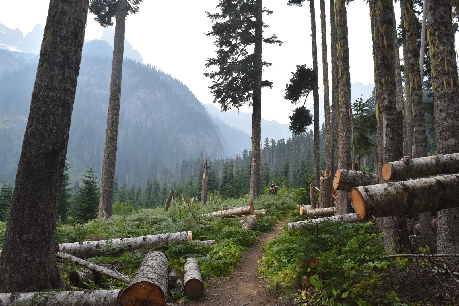
Luckily, when I got to my pack it was free of mice holes. After racing to find my glove, I was a little tired, so I took it slow when I started hiking again. It was a rollercoaster like stretch, going up and then down jagged rock. The views were probably spectacular, but they were all smoked out for me today. Hopefully the rain that starts tomorrow will help clear some of that out.
 |
| Smoky view. |
 |
| The PCT. |
 |
| Another smoky view. |
I finally started my big descent for the day. I had a big descent, a short stretch of relatively even trail, then a big uphill stretch. I wanted to eat lunch at the next water source, which was near the bottom of the descent.
The water source ended up being a waterfall next to a footbridge. The waterfall was cascading into pools of water so clear that they didn't look real. It looked like some fake waterfall in a fancy lobby of some sort, where the water is treated to keep it clear.
 |
| Delate Waterfall. |
I ate lunch at this scenic spot, but when I checked, the time, I was 2 hours behind where I wanted to be for the day. This was my last dry day before I came off trail at Stevens Pass, so I was hoping to get decent miles in.
 |
| Not a bad spot for lunch. |
The high was supposed to drop 10 degrees between today and tomorrow, and then another 10 degrees the day I would get to Stevens Pass. My goal was to get as many miles as possible in before the rain started tomorrow, and then tomorrow get myself closer to Stevens Pass so the next day would hopefully be a short one.
I picked up my pace, rushing through a pretty valley filled with clear streams. The pace was hard to keep as I started the uphill section. It was just too long. I got great views of the smoky sunset behind the jagged mountain peaks. I also saw my 3 favorite Sierra animals in one spot: a marmot, a pyka, and a grouse.
 |
| The PCT. |
 |
| Another clear stream. |
 |
| More (smoky) PCT. |
 |
| Smoky sunset. |
 |
| Overly dramatic marmot. |
 |
| Grouse crossing. |
Despite my efforts I still had to walk in the dark a little bit to get to my intended campsite. Since the sun is rising later and setting earlier, I think my days of “big” miles, which were 25-30 a day are over.


The scenery in this section is just amazing! It makes me want to move to Washington.
ReplyDeleteIt was an unexpectedly beautiful state.
Delete