Trail Day 45: Tentsite (mile 721.7) to tentsite (mile 737.6)
15.9 PCT miles, plus 1 mile round trip to water source
I took my time getting up this morning, making sure to stretch. I don't know if it was being off the trail for 2.5 weeks, the elevation, or the heavy pack but I was exhausted yesterday. I needed to make sure everything was stretched out to prevent injury.
I finished the uphill climb I had started at the end of the day yesterday. Along the way I got great views of the surrounding mountains and meadows in the morning sun. When I reached the top of the pass I was heading towards, I saw snow on tge trail for the first time since entering the Sierra. It wasn’t much snow, just a couple small banks that hadn't quite melted yet.
 |
| Mourning views. |
 |
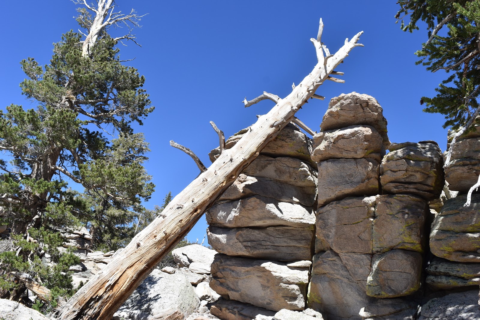
| And, so it begins. |
After I crossed the pass, the trail started heading down towards a pair of meadows. From the top of the pass you could see some of the high, snowy passes, some of which I was headed to in the next couple days. I saw a very large, snowy peak that I thought might be Mt. Whitney, but it was hard to be sure from that angle. The positive thing that I saw was that the mountains appeared to be striped in snow as opposed to capped in snow, which they apeared to be a couple weeks ago.
 |
| View from the trail. |
Even though I has been looking forward to going downhill after all the uphill I had just gone through, I still struggled with it. While my legs felt fine yesterday, but today my knees and feet were swollen and painful. I was also developing blisters on the inside of my heel from the new boots I had gotten for this section. Every single step was painful and it was detracting from the beautiful scenery. I ended up stopping 0.8 miles from the bottom of the down hill section for an extended break. It had been too painful to continue to the bottom.
 |
| The trail in this section. |
After my break I finished going downhill, grabbed water from the water source and continued down the trail. This part of the trail was a flat valley. Most of it was dirt and granite with a few trees, but the trail also lead directly next to and eventually crossed Gomez Meadow. This was a narrow, green valley that was surrounded by granite formations. It was beautiful. It reminded me of Yosemite a little bit.
 |
| Gomez Meadow |
 |
| Bridge across Gomez Meadow. |
 |
| Gomez Meadow. |
After the valley, I started another uphill climb. The elevation was really getting to me at this point. Breathing got a little harder and my legs were almost immediately fatigued. I regularly sat down on boulders to rest and very slowly shuffled my way up. The good part was that the trail was incredibly beautiful. I was able to look around as I rested. The bad part was that the corridor I was near appeared to be used by military jets who were consistently and noisily flying by. One was so low that the “WHAP” sound it cracked as it flew bu actually hurt my ears.
 |
| View from the trail. |
 |
| Another view from the trail. |
 |
| The PCT in this section. |
 |
| Scene along the PCT. |
It took much longer than anticipated to reach the top of this uphill section. There was a nice view of Owens Valley to the east, but only AT&T subscribers had service at this spot and I have Verizon, so unfortunately I did not have cell service.
 |
| Owens Valley to the east. |
When I started back downhill I had to scout out campsites on the Guthook app, since I was not going to make the miles I thought I would at the beginning of the day. I was also surprisingly low on water. Water has, for the most part, been plentiful in this area. However, I have been drinking a lot of it. It actually feels like I have been drinking more water up here than when I was in the desert.
I wasn't sure if there was water at the next water source so I packed some of the remnant snow in my filter bag. I headed back downhill and checked out the next water source even though it was 0.5 miles off trail, and the last report was that it was dry. That report was from a long time ago, so I took a chance and checked it out. I'm glad I did because there was water there. I was able to grab another liter for dinner.
I continued a little over a mile past the water to get a campsite on a nice, flat, saddle. I was really tired and it took a lot of effort of make dinner and set up camp. Even though it was cold, I left the tent fly off to see the stars, and even tried taking a couple pictures if them.
 |
| Night photography at my campsite. |


The night picture is amazing!
ReplyDelete