Trail Day 57: Evolution Lake (mile 844.4) to tentsite (mile 862.3)
17.9 PCT miles
Last night the wind was blowing into our campsite from across the still partially frozen lake. It was very cold and hard to get going this morning.
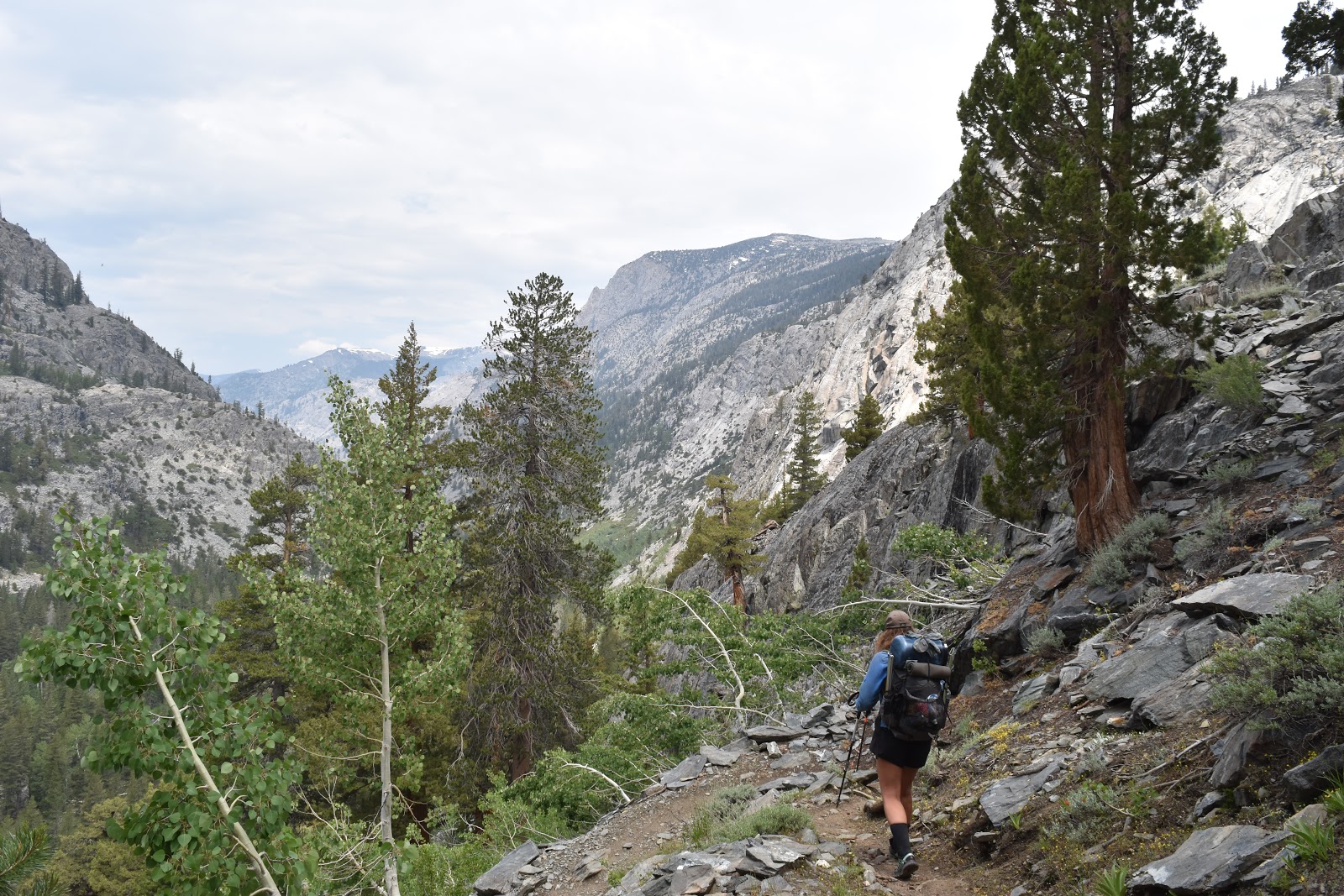
We had camped right above some switchbacks heading down into a series of tiered valleys. Right away we hit a snow patch. It was foolish of me to think that since we had camped on dry land that we were fully out of the snow.
I was also having foot pains, probably from all the sliding in the snow the previous day.
As we were racing down the switchbacks (in kind of a hurry to get to an infamous water crossing), I felt wetness on the back of my pants. When we took a brief break, I saw that one of the bottom corners of my pack was soaked. I figured I must have set it in a puddle.
However, as I continued down the trail, the wetness spread and soon my pants were wet all the way down my leg. I stopped and opened up my pack. Sure enough, my water bladder was leaking from a seam. I transferred the remaining water to my smartwater bottle. I would only be able to carry one liter at a time, two if I kept water in my filter bag.
By this point I was in a pretty bad mood. My pants were soaked, I had to go slower than the rest of the group because of my foot, and to get to my water I would have to take my pack off. Luckily, Taco Slap, Phoenix, and I had sort of formed a “girl’s group” within the group, and they would consistently wait for me to catch up and take the water out of my side pocket for me when I wanted to drink.
We passed a very flooded McClure Meadow, as well as the ranger station, where the very friendly ranger took down our information. All rangers do this in some form to keep a record of who they have encountered.
 |
| McClure Meadow. |
 |
| Water crossing near McClure Meadow. |
 |
| Water pouring into McClure Meadow. |
Next, we met the guys near Evolution Creek. This creek is always a difficult crossing and even has an official alternate crossing during high water levels. This year the water level would be high in the alternate crossing as well.
 |
| Official sign for the alternate crossing. |
We took the time to waterproof our bags as best as possible. I lined my pack with a trash compactor bag and put everything I could into waterproof sacks and Ziploc bags.
When we started the meadow crossing we had to wade through a flooded area with a deep channel to get to the actual crossing. The channel was crotch deep at its shallowest part.
 |
| Songbeard, Taco Slap, and Phoenix wading to the alternate crossing. |
At the crossing itself, one of the guys found the shallowest line to cross and completed it with the water only coming about waist deep. The other guys followed and yelled back that if we lifted our backpacks up on our shoulders a bit that we could keep them dry.
I started across the creek. It was really wide and cold. It was crotch deep for most of the time. When I got to the deepest part, I shifted my backpack to get it higher, but in doing so got one side of my hip belt wet. Otherwise I made it across without issue. The only problem was that my pants and part of my shirt were cold and wet.
 |
| Taco Slap and Phoenix crossing Evolution Creek in the meadow. |
We dried out in the meadow for a while as best we could while trying to avoid the swarms of mosquitos passing by. Eventually we started hiking again even though I was cold and damp.
As we started heading down into the next valley, it got really hot and humid. It was overcast and hazy which made me think that there was a good chance there would be a rainstorm today.
 |
| This was the official PCT crossing of Evolution Creek further down the trail. It was deep, wide, and swift. |
 |
| Heading down into the next valley. |
In the valley we followed the raging San Joaquin River. Luckily there were established bridges along the route so we didn't have to worry about crossing it. On the other hand, there were plenty of little swollen streams that we had to rock hop, find log crossings, or wade through slong the way.
 |
| San Joaquin River. |
 |
| Bridge over the San Joaquin River. |
 |
| Walking along the river. |
 |
| And through the woods. |
We took a late lunch under some trees near the river before leaving Kings Canyon National Park and heading into the John Muir Wilderness.
 |
| Entering the John Muir Wilderness. |
 |
| Wildflowers by the San Joaquin River. |
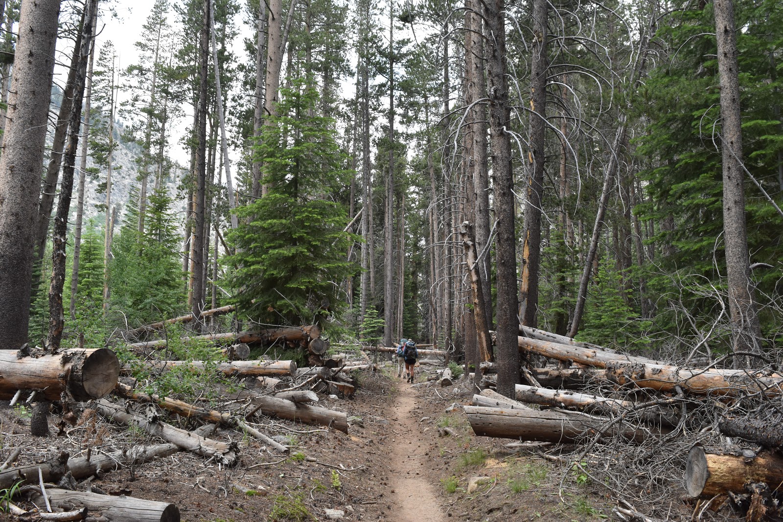
Once we crossed the boundary we headed into forest. It also was the afternoon and has started to sprinkle. I hoped it would only be a sprinkle. The mosquitos were also out in full force.
 |
| John Muir Wilderness. |
 |
| Walking through the woods. |
I had started this section before the rest of the group and had already been past by the guys. I stopped to “use the bathroom” and came back on trail as Taco Slap and Phoenix arrived. Phoenix also chose to “use of the bathroom” at this spot and while Taco Slap and I were waiting on the trail, the rain started coming down heavily enough to put on our rain gear.
We then started heading up some steep switchbacks in the rain. Part way up we found the guys taking a break under a tree that was fairly shaded from the rain. There was a water source nearby. Phoenix and I went to fill up our water and saw a cool snake. I actually almost stepped on it because it was the same color as a bunch of the fallen branches.
 |
| Rubber boa. |
After the break we continued heading up the steep switchbacks to where we would be camping tonight, which would be over 10,000 ft. By this time the rain had dissipated, but the thunder was putting on quite a show. Luckily, the storm clouds had just moved past us by that time and we got to listen to the storm from an area with sunshine.
 |
| Passing storm. |
 |
| View from the switchbacks after the storm. |
Finally, after what seemed like forever, we hit the top of the switchbacks. There was a stream that we had to wade through, which was typical because why would we go to bed with dry boots? I think I have put on wet boots in the morning evey day I have been in the Sierra so far.
When we reached the camping spot there were tons of campsites spread out along the path so we were able to pitch our tents in separate spaces.


Cool snake! That creek crossing is insane! At what point is a creek considered a river or a lake?
ReplyDeleteHaha, this year they seem to be one in the same.
ReplyDelete