Trail Day 51: 0.3 miles of the Bullfrog Lake Trail to Onion Valley Campground
6.7 miles of detour
Everyone got up and met for breakfast by the pond before 6 am. Then we started heading for Kearsarge Pass.
There was some patchy snow as we headed around Bullfrog Lake. The lake itself, however, was spectacular. Between the calm surface and the morning light, the surrounding peaks were casting gorgeous reflections on the water.
 |
| Spectacular scene at Bullfrog Lake. |
After Bullfrog Lake the trail started gaining in elevation, heading towards the pass. The group had gotten ahead of me by this point, and, because the snow patched had gotten more extensive, I lost the trail a couple times. I was able to find my way back pretty quickly, however.
 |
| Closing in on the pass. |
Near the pass, as I was trying to navigate a snowfield, I heard a voice call out to me. It was the group sitting on some rocks. They were going to do a scramble up a rocky slope to skip some of the switchbacks that were covered in snow. I followed them up and hit the pass.
 |
| Looking west from the pass. |
 |
| Add caption |
By the time I got there, several members of the group had moved on. I followed the rest on a snowy traverse that was already getting a little soft and slippery. There were a couple of bare patches of rock that you had to scramble across. That was probably one of the scariest moments of the hike so far, considering I was doing the scramble in crampons. Crampons are great for gripping snow, but are horrible on rocks.
 |
| The traverse coming fown from Kearsarge Pass. |
During the traverse I caught up to Songbeard and Phoenix, and we made our way down the switchbacks, with the occasional glissade. Once we got to the bottom of the trail, Songbeard and Phoenix sat down for a rest and I continued on the now dry trail.
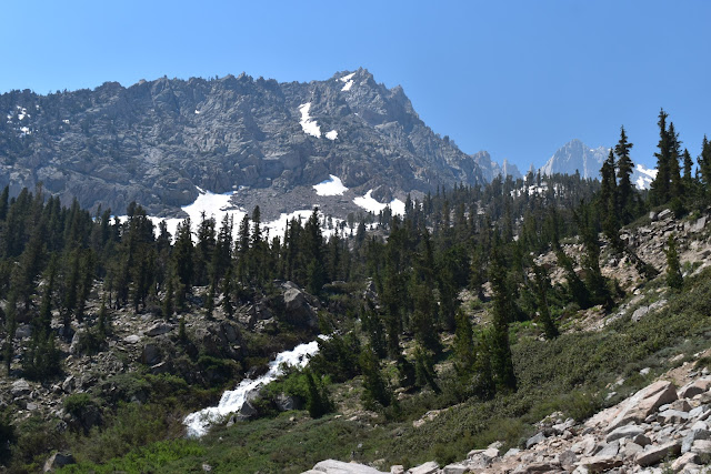
Eventually I reached a gorgeous lake. It was surrounded by granite peaks and had an amazing waterfall. The water cascading down was white. It looked like a snow waterfall.
I also started to see more people. The trail from Kearsarge Pass to Onion Valley Campground has a series of lakes and seems to be popular with day hikers and backpackers. The further down in elevation I got, the more people I saw.
 |
| Coming down in elevation. |
 |
| The road! |
As I was coming down, I started getting pains my right foot. Both feet were really swollen, as was my right knee. I stopped about a mile out from the trailhead to rest. I had cell signal, so I was able to let my Trail Angel know I was almost there.
I rested for a while, then finished the hike and met my Trail Angel at the trailhead. Part of the road had washed out from the flooding the previous week, so I still had a little bit of walking to do before we got to the car.
The rest of the group I had been hiking with had already gotten a hitch into Bishop. Songbeard and Phoenix were still on the trail, so my Trail Angel and I waited until they came down and gave them a ride into Bishop. When we dropped them off at the hostel, another hiker came running over, asking for a ride into Independence. Since we were headed in that direction anyway, we gave him a lift.
We dropped the other hiker off at the intersection of the road that lead back to Onion Valley and I picked up my resupply boxes from the Courthouse Motel. I had sent myself a resupply because I didn't think my Trail Angel would want to take me back to Orange. However, that was exactly what he did.


I'm loving your video clips!
ReplyDeleteThanks! Some thimgs can't be captured in pictures.
Delete