15.9 PCT miles
Everybody woke up stiff this morning from the strenuous activity we encountered yesterday. We ate breakfast and broke down camp. On our way out we noticed 5 deer had come down to graze next to our campsite. We watched them for a while before heading out.
 |
| Breakfast deer. |
 |
| What a face. |
I wasn't excited about the day since we were headed to Muir Pass, approximately 10 miles away, all uphill. When we started out, I felt like we were running through the valley again. The sun was lighting up everything, and I wanted to stop to take pictures, but I felt the pressure to keep moving.
A little ways into the hike, Taco Slap came back to hike behind me. I wasn't happy about this because I always feel like I am holding somebody up when they hike behind me. She insisted that she liked my slow pace. She also encouraged me to stop and take pictures.
From there on out the hike became much more enjoyable. We saw another deer and walked by some gorgeous snow melt cascades. As we started to get up towards the snow you could also see the river emerging through the melting snow bridge.
 |
| Trail deer. |
 |
| Morning on the PCT. |
 |
| Waterfall. |
 |
| Same creek further up, emerging from the snow. |
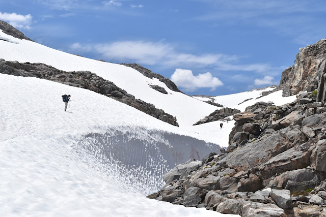
We hit the snowfield 2.5-3 miles out from the pass. The approach to Muir Pass was more rolling hill than steep ascent, so it was also very enjoyable. I tool my time along with Phoenix and Taco Slap, and we took many breaks and pictures along the way. This has been my favorite pass so far.
 |
| Walking towards Muir Pass. |
 |
| Another view during the approach. |
 |
| The group spaced out on the approach. |
 |
| Passing next to a creek on the approach. |
 |
| Phoenix and I on the Muir Pass approach. |
 |
| Passing a frozen lake. |
 |
| Taco Slap and Phoenix near the top of the pass. |
At the pass itself was the Muir Hut, a cool looking emergency shelter built in the 1930s. We rested, ate lunch, and watched a marmot scamper about.
 |
| Muir |
 |
| Inside Muir Hut |
The descent from Muir Pass was also pretty enjoyable, since it was a gradual decline. For once, we were able to enjoy the surrounding beauty of the mountains instead of being scared of a steep mountain slope.
 |
| Descending Muir Pass. |
 |
| The snowfield coming down from Muir Pass. |
 |
| Resting on a rock island. |
 |
| Passing a frozen creek. |
 |
| Heading down. |
 |
| Resting on a rock island. |
Part of the way down we realized that in order to get a campsite we needed to do several more miles quickly to get out of the snowfield before we lost light.
This is where the hike became not fun again. We were racing through the slippery snow. My legs were getting tired and I started slipping and falling, which would make me more tired.
By the time we got to where the snow was starting to become patchy, my legs were not working very well. We also had to fird a wide (but shallow) river crossing which froze my feet.
To get to the campsite we had to go around the beautiful Evolution Lake while the sun was setting. I wanted to stop and take so many pictures, but I knew I didn’t have time, so I shuffled forward as best I could.
 |
| Approaching Evolution Lake. Stop the train, I want to take a picture. |
Eventually, we got to the campsites on the lake, and I set up camp, ate dinner and hopped in my sleeping bag. All was right in the world again.
 |
| Evolution Lake in the evening. |
 |
| My tentsite at Evolution Lake. |


Yay for more pictures! The blue water is absolutely amazing and I love being able to see you in more pictures as well.
ReplyDeleteMuir was my favorite pass. Challenging without being terrifying, and it was beautiful.
Delete