13.7 PCT miles
I woke up fairly early this morning and grabbed my ride to the trail. Soon after leaving, my Trail Angel let me know he had a morning appointment back in the Orange County at 9 am. He would not have made it back in time after dropping me off at my trailhead, so I had him turn around. I went back to bed and got a little more sleep. I didn't arrive at the trailhead until noon, but I wasn't planning on going too far today either.
 |
| Hitting the trail again at the Highway 2 crossing. |
Walking that first section was so much more enjoyable than a couple days ago. I was above the cloud layer again so it was nice and sunny. The air was cool, but with the sunshine, it felt comfortably warm. I walked happily through the pine forest, and almost missed the 400 mile marker. I stopped briefly to take a quick picture with it.
 |
| 400 miles! |
Then, as I was nearing the trailhead that, before my exhaustion breakdown, I had originally wanted to be picked up at the other day, I saw a small coyote. It looked at me briefly before scampering off before I could pull out my camera. Stupid, wily coyote.
I was mostly heading down in elevation today, gaining some of it back towards the end of the day. As a result I was going in and out of the edge of the cloud layer. One moment it would be foggy, and I would take my sunglasses off, and the other moment it would be sunny.
 |
| Blue skies, and pine trees. Life is good. |
 |
| Much more drama. Also, much colder. |
I was also entering another section of burned forest. Seriously, what part of California is left to burn? This area looked like it had some time to recover compared to some of the other sections I had gone through. This section, however, had the dreaded poodle dog bush.
 |
| More burn area warnings. |
 |
| Crispy California, although this section has some vegetation recovery. |
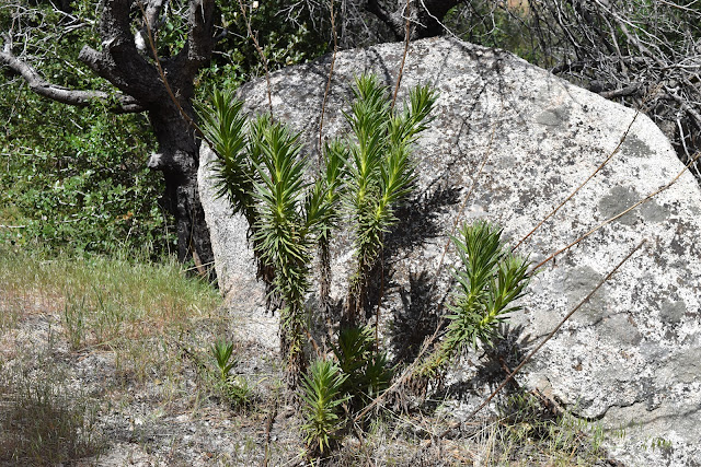
Poodle dog bush is prominent in recent burn areas and is kind of like poison oak, in that it causes contact dermatitis. If the irritant gets on your clothing, it will still be active until it is thoroughly washed off. So, if you touch your pants after it has touched the plant, you will be in trouble. I had only seen a single bush on the trail so far, which was while walking the Fobes Ranch detour near Idyllwild. However, this is the first time I had seen multiple plants and ran the risk of rubbing up against them. Luckily, they smell like skunky weed, so most of the time you know you are approaching them.
 |
| Careful, now! Small poodle dog bushes at ankle level on the trail. |
 |
| Medium sized poodle dog bush. |
In the educational material provided to hikers by Halfmile, it says that trail crew members have been hospitalized because of poodle dog bush. It was in, or near, the section I walked today that there used to be an official PTC detour, because the trail was so overrun with these plants that it posed a serious health hazard. PCT volunteer trail crews have removed enough of the plants recently that the trail can be walked again. Those trail crews are amazing!
Being mindful of the poodle dog bush, I wound down the trail, and then back up again. When I finally reached a high ridgeline, there was flat space available to set up tents. There were already people set up there, but thankfully there was enough room spaced out that we (I counted 7 tents) weren't going to bother each other with snoring or noisy air mattresses. Even though it was mostly blocked by the treeline, I got to see the sunset, with the sky changing orange/red against the clouds.
 |
| Golden hour on the ridgeine. |
 |
| Campsite near sunset. |
 |
| The sky turned beautiful colors tonight. |


Comments
Post a Comment