Trail Day 20: Side of the trail (mile 312.0) to seasonal stream (mile 334.5)
22.5 PCT miles
I started hiking at 4 am today. It was really rough to do, but I was heading down in elevation again, meaning it would be hot. I wanted to get in as much hiking as I could, then spend the hottest hours of the day by a lake, and finish hiking in the evening.
I do not like hiking in the dark. The details of the trail (rocks/sand) are hard to see and it can get confusing if people have created their own side trails in addition to the real trail. It took me a while to figure out where to go when I got to a sandy beach area, especially since I couldn't see any footprints. I had to get my GPS app (Guthook) out and try to walk in the direction it was showing me the trail led. Eventually I saw a PCT marker reflecting back at me.
I also had to ford Deep Creek, now a less wild creek lined by vegetation, in the dark. As I approached the ford, I accidentally shined my headlamp on two people cowboy camping in next to the creek. I felt bad. To make matters worse, I kept hearing big splashes by the creek. I was clearly disturbing some large animal, and their slashes were loud.
The creek at night just looked like an expanse of black liquid. When I shined my light into the water I could just make out that the bottom was made of mud and sand, but I could not tell how deep. I put on my camp shoes and headed through. The water was a bit deeper than I expected, coming up to crotch level. When I hit the other side I saw what was making the big splashes. There were large bullfrogs by the creek. They must be doing bellyflops into the water because their splashes made them sound about 3X as big as they actually were.
 |
| Bellyflopping bullfrog. |
The ford had been described in the water source notes as a poor place to get water (full of trash) so I moved upstream and filtered a couple liters of water.
I continued on the edge of a valley and then followed the edges of the mountain range next to that valley, getting a great view of the snow capped Mt Baldy, near my next high altitude snow challenge.
 |
| Baldy at sunrise. |
Pretty soon I was passed by a man and a women. They had been the ones who had been cowboy camping by the ford. Their names were Maya and Sam and they were incredibly sweet people. Maya told me she had never even woken up during my intrusion. Sam had woken up briefly, but had just assumed someone else had camped in the area, and went back to sleep. There area we were walking through was another burn area. We all commented on just how much of California has been burned lately. It seems like a lot. It also meant shade would be limited again today.
 |
| Another burn area. California, stop catching on fire! |
The burned stretch was pretty boring. The view kept switching from the valley to Mt Baldy to the valley again. This repeated for hours. Then it started to get hot again. Today it only reached 90 degrees (F) by 9 am.
 |
| Roads and powerlines. Roads and powerlines. |
I ended up stopping and resting in every spot I could find that had shade, and unbuttoning my shirt, because I was overheating. I was supposed to be walking around a big lake, Silverwood Lake, most of the day but I wasn't seeing it. It turns out the lake was on the other side of the mountains I had been walking. That meant I was missing out on what I imagined were nice lake breezes.
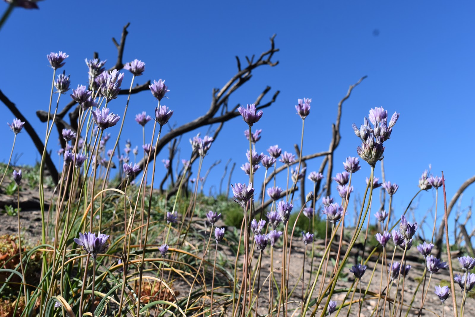 |
| wildflowers and burnt trees. |
 |
| I bet there used to be nice shade here. |
I was thinking about ice cold Gatorade and ice cold watermelon the whole time. I was never more in need of trail magic, for someone to leave some sort of treat, than today.
I got to the junction of the trail and a road, and got my first glimpse if the lake. It was a rock wall. It was not what I was expecting, and there was still no lake breeze.
 |
| What a great lake view. |
The trail then followed the road for a while. I got passed by a couple cars that I imagined all had cold Gatotade that they were keeping to themselves. I shuffled my way into the part of the trail that veered back away from the road. There were trees! And shade!
 |
| The PCT is not always a wilderness trail. |
I almost sat down and took my break right when I first got into the shade. I saw that the trees extended on for a bit so I decided to walk a little further to see if there was a better place to rest. Then I saw a red cooler. Trail magic! Some wonderful trail angel took pity on us after all. I had no shame at that point and plopped down in the middle of the trail facing the cooler.
 |
| TRAIL MAGIC! |
I opened up the cooler. It didn't have Gatorade or watermelon but it did have bottled water and cantaloupe. It definitely worked as a decent substitute for my food fantasies. I also got the very last cupcake. I didn't even realize I wanted the cupcake. I usually don't want sticky-sweet foods when I am thirsty, but I must have eaten it in only 2-3 bites. It just suddenly ceased to exist.
After I finished the magic and left a thank you note in the trail registry, I continued towards the picnic area by the lake, now only 2 miles away. I climbed a steep, exposed hill and got my first glimpse of Silverwood Lake and its breeze.
 |
| So there is a lake here after all. |
The picnic site, unfortunately, was on the other side of the lake. The trail wound around every little finger of the shoreline before it got to the picnic site. I laid my tarp down under the shade of a pavilion and let the breeze cool my body back down before eating lunch.
 |
| I spent a good three hours of the day here. |
As much as I was enjoying being out of the extreme heat, I was also running low on water. The lake was full of trash and boaters so I didn't really want to filter from there. There was another picnic area 3 miles down the PCT that had running water. Around 3 pm I gathered my things, took a deep breath, and braved the heat for 3 miles.
 |
| Leaving Silverwood Lake and its breezes. |
There were several other thru-hikers at the next picnic area, and, after I arrived, more started trickling in. It sounded like they were going to camp there for the night. This picnic area is accessible by road, so there is a note in the Guthook app saying that you could get pizza delivered there. Some of the hikers were planning to do just that and started looking up delivery options. I drank some water, filled up my water bottles and moved down the PCT.
I needed to camp much further down the trail. My Trail Angel was going to pick me up at I-15. However, with the pace I was going, I was going to reach I-15 by lunchtime tomorrow. There is a PCT-famous McDonald's there where I could hang out, but it would mean I would probably be hanging out until 8 or 9 pm.
 |
| Heading back into the mountains. |
So, I worked it out that I would make enough progress to be picked up in the morning instead. That meant I would have to both get as close as I could to I-15, and get an early start again. At least I wouldn't be hiking in the heat again tomorrow.
Apparently Silverwood Lake was in a valley, because as I headed further down, the trail started climbing uphill again. I had to go over a mountain pass to the to the I-15. I really was not enjoying doing that uphill at the end of a hot day.
 |
| Going up. |
 |
| I stopped to lean on my poles and heard shuffling next to me. This alligator lizard had given away its position. I would have walked right past it otherwise. |
Eventually I got to the top of the pass. Coming up right behind me were Maya and Sam. We chatted about our day and the trail magic that had occurred, and then I let them go ahead of me since they were much faster hikers.
 |
| Looking back towards Silverwood Lake from the pass. |
 |
| Other side of the mountain pass. |
As the trail started to lead back down from the mountain pass, I noticed that it was mostly a narrow path with no room to camp on either side of the trail. It was getting late in the day and I was worried about finding a place to set up for the night.
I checked my Guthook app and it said there was a spot big enough for one tentsite about a mile away. I remained hopefully that it would still be empty. I assumed that any of the tentsites listed on the app would have been spoken for a couple hours ago.
When I got there I was surprised that it was empty. At least it was empty until a couple minutes ago. Maya and Sam had grabbed it and were cooking dinner. After briefly chatting about the lack of campsites (with me leaning on my hiking poles the whole time), Maya offered if I was too exhausted that I could take their site, since I had walked further than them today, and they would keep looking for another place after they finished dinner. Those two are way too sweet.
I was almost selfish enough to kick them out of their site. But these things are first come first serve. And, I remember they had said they had walked past my awesome tentsite last night while looking for a place to camp. I told them I would keep looking.
I checked the app again and the next closest tentsites were at least a mile and a half away. They were also limited in size as well. To make matters worse there didn't seem to be many sites at all before I-15. I realized there was a distinct possibility that I could be walking all the way to I-15 tonight, which would make it a 30 mile day. That would not be good.
I started going over possible scenarios in my head about what I was going to do for the night. Then, as I was heading down the trail, I saw a patch if sand just big enough for my tent. I checked my app and it was a seasonal stream that had dried up. There was no rain in the forecast for the night so I decided to stay there. Only 7.3 miles to go tomorrow.


Comments
Post a Comment